Wonowon, British Columbia
| Wonowon | |
|---|---|
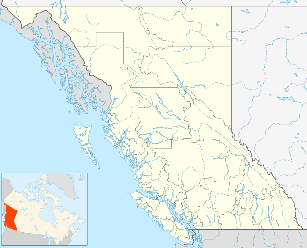 Wonowon Location of Wonowon in British Columbia | |
| Coordinates: 56°43′42″N 121°48′24″W / 56.72833°N 121.80667°WCoordinates: 56°43′42″N 121°48′24″W / 56.72833°N 121.80667°W | |
| Country |
|
| Province |
|
| Area code(s) | 250, 778 |
Wonowon is a community in northeastern British Columbia, Canada, located at Mile 101 on Highway 97, the Alaska Highway. The present-day community name is derived from the mile number, "one-oh-one", however, the area was historically known as Blueberry. The community is part of the Peace River Regional District. The major business center for residents is Fort St. John, and the residents observe the same clock time as Fort St. John, including its abstinence from daylight saving time.
Climate
| Climate data for Wonowon | |||||||||||||
|---|---|---|---|---|---|---|---|---|---|---|---|---|---|
| Month | Jan | Feb | Mar | Apr | May | Jun | Jul | Aug | Sep | Oct | Nov | Dec | Year |
| Record high °C (°F) | 8.5 (47.3) |
11.0 (51.8) |
13.0 (55.4) |
26.1 (79) |
30.5 (86.9) |
28.3 (82.9) |
32.0 (89.6) |
32.0 (89.6) |
26.0 (78.8) |
23.0 (73.4) |
12.0 (53.6) |
9.0 (48.2) |
32.0 (89.6) |
| Average high °C (°F) | −7.2 (19) |
−4.8 (23.4) |
0.4 (32.7) |
7.7 (45.9) |
14.3 (57.7) |
17.9 (64.2) |
20.0 (68) |
18.7 (65.7) |
13.5 (56.3) |
6.1 (43) |
−5.7 (21.7) |
−7.4 (18.7) |
6.1 (43) |
| Daily mean °C (°F) | −11.1 (12) |
−9.7 (14.5) |
−4.9 (23.2) |
2.4 (36.3) |
8.5 (47.3) |
12.2 (54) |
14.3 (57.7) |
13.2 (55.8) |
8.3 (46.9) |
1.9 (35.4) |
−9.5 (14.9) |
−11.3 (11.7) |
1.2 (34.2) |
| Average low °C (°F) | −15.1 (4.8) |
−14.5 (5.9) |
−10.1 (13.8) |
−3.0 (26.6) |
2.7 (36.9) |
6.4 (43.5) |
8.6 (47.5) |
7.6 (45.7) |
3.1 (37.6) |
−2.4 (27.7) |
−13.3 (8.1) |
−15.2 (4.6) |
−3.8 (25.2) |
| Record low °C (°F) | −39.0 (−38.2) |
−40.0 (−40) |
−34.4 (−29.9) |
−23.0 (−9.4) |
−9.0 (15.8) |
−1.0 (30.2) |
0.0 (32) |
−3.0 (26.6) |
−12.8 (9) |
−26.5 (−15.7) |
−41.0 (−41.8) |
−40.0 (−40) |
−41.0 (−41.8) |
| Average precipitation mm (inches) | 23.0 (0.906) |
19.3 (0.76) |
27.1 (1.067) |
32.4 (1.276) |
63.7 (2.508) |
88.2 (3.472) |
82.9 (3.264) |
69.4 (2.732) |
47.1 (1.854) |
41.3 (1.626) |
33.6 (1.323) |
22.6 (0.89) |
550.6 (21.677) |
| Average rainfall mm (inches) | 0.1 (0.004) |
0.5 (0.02) |
0.3 (0.012) |
12.7 (0.5) |
52.7 (2.075) |
88.2 (3.472) |
82.9 (3.264) |
69.1 (2.72) |
43.4 (1.709) |
11.1 (0.437) |
0.6 (0.024) |
0.0 (0) |
361.6 (14.236) |
| Average snowfall cm (inches) | 23.0 (9.06) |
18.8 (7.4) |
26.8 (10.55) |
19.7 (7.76) |
11.0 (4.33) |
0.0 (0) |
0.0 (0) |
0.2 (0.08) |
3.7 (1.46) |
30.3 (11.93) |
33.0 (12.99) |
22.6 (8.9) |
189.0 (74.41) |
| Average precipitation days (≥ 0.2 mm) | 6.6 | 7.0 | 8.2 | 7.8 | 11.4 | 13.2 | 14.4 | 11.8 | 9.6 | 9.5 | 10.1 | 7.9 | 117.5 |
| Average rainy days (≥ 0.2 mm) | 0.1 | 0.2 | 0.5 | 4.4 | 10.9 | 13.2 | 14.4 | 11.8 | 9.4 | 4.1 | 0.2 | 0.0 | 69.0 |
| Average snowy days (≥ 0.2 cm) | 6.6 | 6.8 | 8.1 | 4.9 | 1.5 | 0.0 | 0.0 | 0.4 | 1.3 | 6.4 | 9.9 | 7.9 | 53.7 |
| Source: [1] | |||||||||||||
References
- ↑ "Calculation Information for 1981 to 2010 Canadian Normals Data". Environment Canada. Retrieved July 9, 2013.
See also
This article is issued from Wikipedia - version of the 10/14/2015. The text is available under the Creative Commons Attribution/Share Alike but additional terms may apply for the media files.