Wołów
| Wołów | |||
|---|---|---|---|
|
Town hall in Wołów | |||
| |||
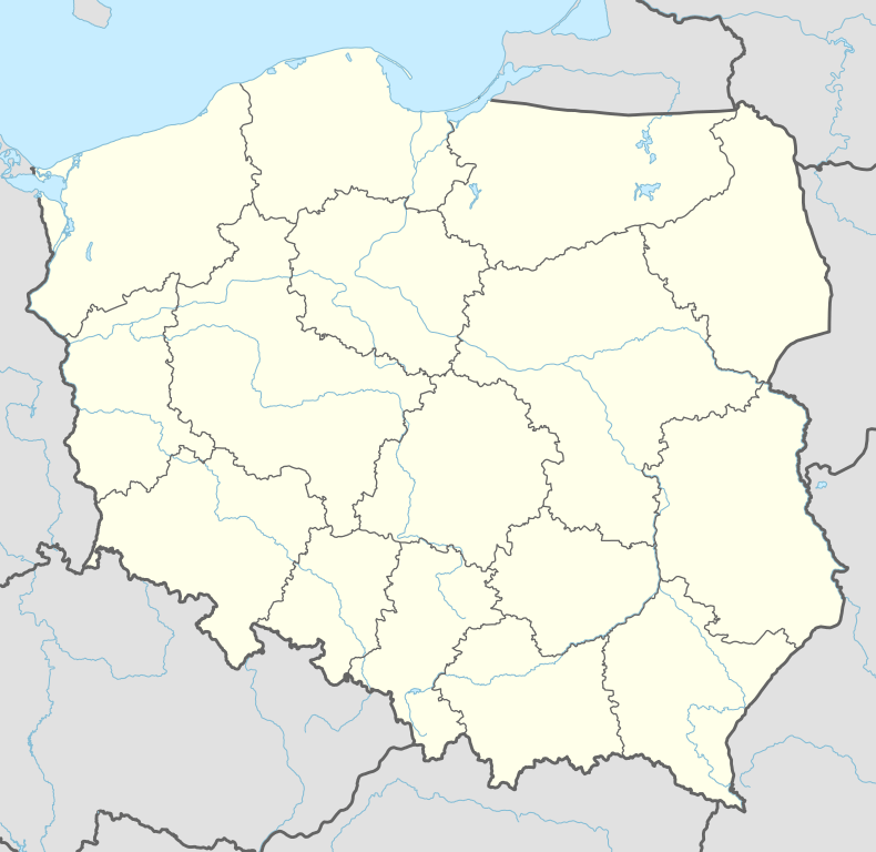 Wołów | |||
| Coordinates: 51°20′29″N 16°37′42″E / 51.34139°N 16.62833°E | |||
| Country |
| ||
| Voivodeship | Lower Silesian | ||
| County | Wołów County | ||
| Gmina | Gmina Wołów | ||
| City charter | around 1285 | ||
| Government | |||
| • Mayor | Dariusz Chmura | ||
| Area | |||
| • Total | 18.54 km2 (7.16 sq mi) | ||
| Population (2006) | |||
| • Total | 12,286 | ||
| • Density | 660/km2 (1,700/sq mi) | ||
| Time zone | CET (UTC+1) | ||
| • Summer (DST) | CEST (UTC+2) | ||
| Postal code | 56-100 | ||
| Car plates | DWL | ||
| Website | http://www.wolow.pl | ||


Wołów [ˈvɔwuf] (German: Wohlau) is a town in Lower Silesian Voivodeship in south-western Poland. It is the seat of Wołów County, and of the smaller administrative district (gmina) called Gmina Wołów. It lies approximately 38 kilometres (24 miles) north-west of the regional capital Wrocław. As of 2006, the town has a population of 12,286.
Name
The town's name is derived from the Polish word wół ("ox").
History
The area around Wołów was settled since prehistoric times.[1] It was first mentioned in 1157[2] when a wooden castle founded by Senior Duke of Poland Władysław II the Exile is documented,[3][4] which developed into a castle complex, which was again mentioned in 1202.[5] Two villages developed near the castle, one of them called Wołowo. Probably in the second half of the 13th century the town was founded near Wołowo and partially on the soil of the second village.[6] Wołów received German town law about 1285; a Vogt is mentioned in 1288.[6]

At that time Wołów belonged to the Duchy of Głogów, after 1312 to the Duchy of Oels.[6] With the duchy it passed to Bohemia in 1328. In 1517 Johann Thurzo received Wołów. From shortly before, 1473, dates the oldest known seal of the town, which already shows an ox, as do all later seals. In 1523 the town passed to the Duchy of Legnica and remained there until the dukes of Liegnica-Brzeg-Wołów died out in 1675.
The Protestant Reformation was introduced to the town in 1522 by duke Frederick II. After the extinction of the local Piasts the duchy passed to the House of Habsburg, which opposed the Protestant denomination in the town, as part of the Counter-Reformation. In 1682 the town's parish church was closed and given to the Catholics. According to the Treaty of Altranstädt the church however was already returned to the Protestants in 1707 and stayed Protestant until 1945. The small Catholic minority in return received a Josephinian curacy.[7]
In 1742 Wohlau was annexed by Prussia. The duchy was divided into two districts and the town became county seat of one of the districts. The structure of the town was, until 1700, defined by craft, especially clothiers. As the seat of a duchy and a district administrative function however became more and more important. The industrialization played only a minor role and mostly affected smaller companies of the timber industry.[7]
In January 1945 – just before town was taken by the Red Army – the Wehrmacht evacuated the German population westwards. In the May 1945, Poles – expelled by the Soviets from the eastern part of pre-war Poland – started to settle in Wołów and Lower Silesia.
Notable residents
- Mirosław Hermaszewski (born September 15, 1941) The first (and to this day remains the only) Polish national in space.
- Jan II the Mad (Polish: Jan II Szalony; 16 April 1435 – 22 September 1504), was a Polish House of Silesian Piasts dynasty Duke of Żagań-Przewóz since 1439 . Jan II died in Wołów on 22 September 1504, ending with him the male line of the Piast Żagań-Głogów branch. He was buried in the local parish church.
- Oskar Müller (1896-1970) German politician
References
- ↑ Hugo Weczerka, Handbuch der historischen Stätten, Schlesien, 2003, p.570, ISBN 3-520-31602-1
- ↑ Józef Pilch, Leksykon zabytków architektury Dolnego Śląska, Wydawn. "Arkady", 2005, p. 403 link
- ↑ Romuald M. Łuczyński, Chronologia dziejów Dolnego Śląska, Oficyna Wydawn. ATUT, Wrocławskie Wydawn. Oświatowe, 2006, p. 143 link
- ↑ Ernst Badstübner, Dehio - Handbuch der Kunstdenkmäler in Polen: Schlesien, 2003, p.1028, ISBN 3-422-03109-X
- ↑ Badstübner, p.1028
- 1 2 3 Weczerka, p.570
- 1 2 Weczerka, p.571
External links
- Official site of Wołów
- Wohlau (Wołów) and Polnischdorf (Polska Wieś) on an Austro-Hungarian military map (1:200 000) from c.1910
| Wikimedia Commons has media related to Wołów. |
| Seat |  | |
|---|---|---|
| Urban-rural gminas | ||
| Rural gmina | ||
| Town and seat |  | |
|---|---|---|
| Villages |
| |
Coordinates: 51°20′29″N 16°37′42″E / 51.34139°N 16.62833°E