Haverfordwest Airport
| Haverfordwest Airport Maes Awyr Hwlffordd Withybush Airport | |||||||||||||||
|---|---|---|---|---|---|---|---|---|---|---|---|---|---|---|---|
| IATA: HAW – ICAO: EGFE | |||||||||||||||
| Summary | |||||||||||||||
| Airport type | Public | ||||||||||||||
| Operator | Pembrokeshire County Council | ||||||||||||||
| Location | Rudbaxton, Pembrokeshire | ||||||||||||||
| Elevation AMSL | 159 ft / 48 m | ||||||||||||||
| Coordinates | 51°49′59″N 004°57′40″W / 51.83306°N 4.96111°WCoordinates: 51°49′59″N 004°57′40″W / 51.83306°N 4.96111°W | ||||||||||||||
| Website | www.hwestairport.co.uk | ||||||||||||||
| Map | |||||||||||||||
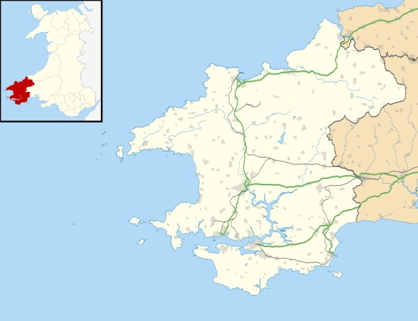 EGFE Location in Pembrokeshire | |||||||||||||||
| Runways | |||||||||||||||
| |||||||||||||||
Haverfordwest Airport (Welsh: Maes Awyr Hwlffordd) (IATA: HAW, ICAO: EGFE), also known as Withybush Airport, is a minor airport located 2 NM (3.7 km; 2.3 mi) north of Haverfordwest, Pembrokeshire.
Haverfordwest Airport has a CAA Ordinary Licence (Number P595) that allows flights for the public transport of passengers or for flying instruction, as authorised by the licensee, Pembrokeshire County Council.[2] Outside CAA-licensed opening hours, Haverfordwest operates unlicensed.
History
Main article: RAF Haverfordwest
References
External links
Transport in Pembrokeshire | ||
|---|---|---|
| Road |  | |
| National Cycle Network |
| |
| Railway lines | ||
| Railway stations | ||
| Air | ||
| Sea | ||
This article is issued from Wikipedia - version of the 12/4/2016. The text is available under the Creative Commons Attribution/Share Alike but additional terms may apply for the media files.