Wilsford, Lincolnshire
| Wilsford | |
 Wilsford's parish church, dedicated to Saint Mary |
|
 Wilsford |
|
| Population | 400 (2011 Census) |
|---|---|
| OS grid reference | TF005435 |
| – London | 105 mi (169 km) SSE |
| District | North Kesteven |
| Shire county | Lincolnshire |
| Region | East Midlands |
| Country | England |
| Sovereign state | United Kingdom |
| Post town | GRANTHAM |
| Postcode district | NG32 |
| Dialling code | 01400 |
| Police | Lincolnshire |
| Fire | Lincolnshire |
| Ambulance | East Midlands |
| EU Parliament | East Midlands |
|
|
Coordinates: 52°58′46″N 0°30′08″W / 52.97954°N 0.502239°W
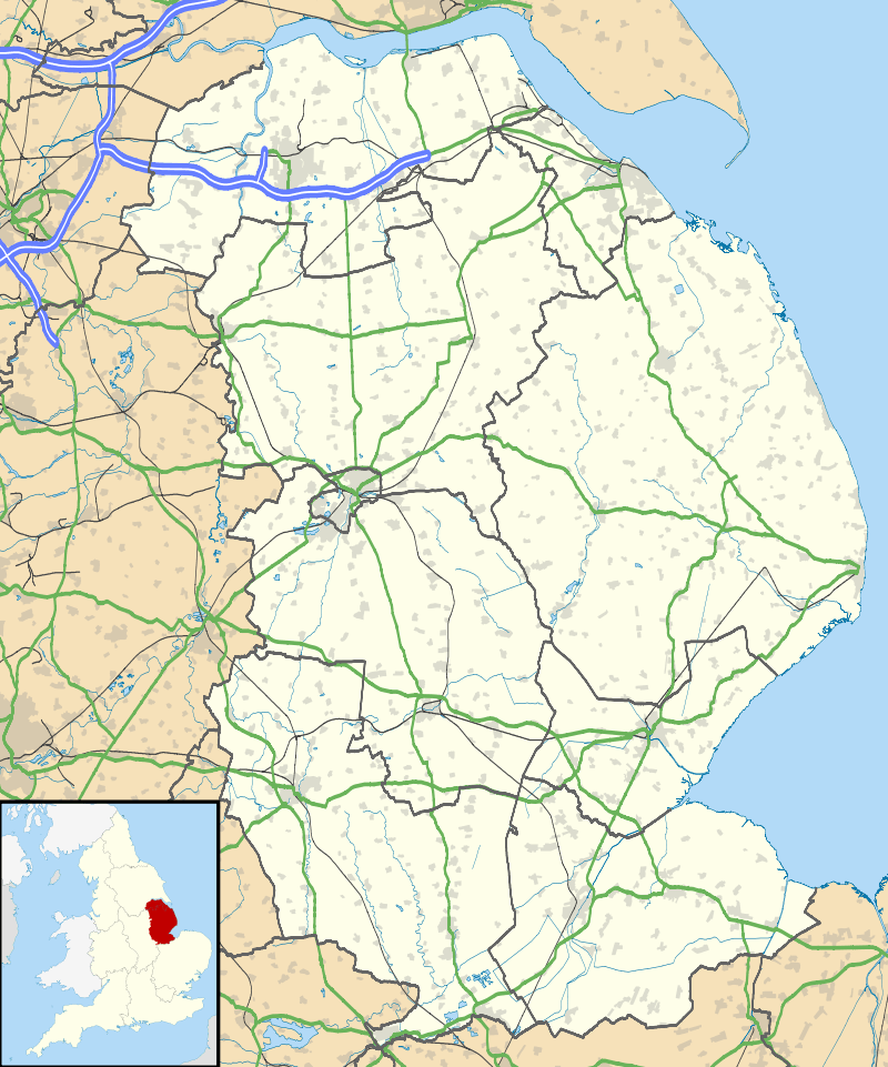
Wilsford is a village and civil parish in the North Kesteven district of Lincolnshire, England. The population of the civil parish was 400 at the 2011 census.[1]
Geography
Wilsford is geographically 4 miles (6.4 km) west-south-west of Sleaford, and 7 miles (11 km) north-east of Grantham. According to the 2011 Census the village had a population of 400.[2] Some 9 ha of the north-eastern part of the village, along Main Street, form a mainly residential conservation area.[3]
Wilsford is located off Ermine Street. The parish of Ancaster lies to the north-west and Rauceby to the north-east. The parish covers about 2,900 acres (12 km2) and includes the eastern edge of the village of Ancaster.[3]
The Grantham to Skegness Line passes close to the north of the village, running alongside the A153 road and crosses the road at a level crossing close to the east. The A153 used to go through the village along Main Street.
Toponomy
Wilsford seems to contains the Old English personal name Wifel, + ford (Old English), a ford, so 'Wifel's ford'.[4]
Wilsford appears in the Domesday survey of 1086 as Wivelesforde.[5]
History
The earliest archaeological evidence of Wilsford consists of Bronze Age and Iron Age artefacts. Some Romano-British building remains and possibly a cemetery with seven stone coffins to the north of the village. A Roman carved stone relief of a male figure was found at Slate House Farm, west of the village. The ancient hamlet of Hanbeck was part of the parish, but now contains only a farmhouse built in 1847 with modern farm buildings. In the Middle Ages it included a Benedictine priory.
Wilsford Hall, built in 1649 and enlarged in 1776, was demolished in 1918. The enclosure act covering the village was passed in 1774. The village school and schoolhouse built in 1857 have been converted into a private house.[3]
The parish church is dedicated to St Mary. The village public house is the Plough Inn in Main Street. Wilsford belonged to the historical wapentake of Winnibriggs and Threo.[6]
References
- ↑ "Civil Parish population 2011". Neighbourhood Statistics. Office for National Statistics. Retrieved 3 June 2016.
- ↑ United Kingdom Census 2001. "Wilsford CP (Parish)". neighbourhood.statistics.gov.uk. Retrieved 18 June 2007.
- 1 2 3 Wilsford Conservation Area Retrieved 3 June 2016.
- ↑ A. D. Mills, Dictionary of English Place-Names (Oxford, 2002), p. 500; E. Ekwall, Concise Oxford Dictionary of English Place-names (Oxford, 1960), p. 521;V. Watts, Cambridge Dictionary of English Place-names (Cambridge, 2002), p. 682;K.Cameron, Dictionary of Lincolnshire place-names (Nottingham, 1998), p.140
- ↑ National Archives: E 31/2/2/8231
- ↑ Vision of Britain map Retrieved 3 July 2016.
External links
 Media related to Wilsford, Lincolnshire at Wikimedia Commons
- Wilsford; Genuki.org.uk. Retrieved 17 July 2012
England Portal | |
| Unitary authorities | |
| Boroughs or districts | |
| Major settlements |
|
| Topics | |