Wiggenhall St Germans
| Wiggenhall St Germans | |
| North Wiggenhall | |
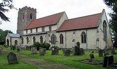 St Mary the Virgin's Church, Wiggenhall |
|
 Wiggenhall St Germans |
|
| Area | 18.98 km2 (7.33 sq mi) |
|---|---|
| Population | 1,373 (2011) |
| – density | 72/km2 (190/sq mi) |
| OS grid reference | TF596141 |
| – London | 136 km (85 mi) WbS |
| Civil parish | Wiggenhall St Germans |
| District | West Norfolk |
| Shire county | Norfolk |
| Region | East |
| Country | England |
| Sovereign state | United Kingdom |
| Post town | King's Lynn |
| Postcode district | PE34 |
| Dialling code | 01553 |
| Police | Norfolk |
| Fire | Norfolk |
| Ambulance | East of England |
| EU Parliament | East of England |
| UK Parliament | South West Norfolk |
| Website | Wiggenhall St Germans Parish Council |
Coordinates: 52°42′00″N 0°21′36″E / 52.700°N 0.360°E
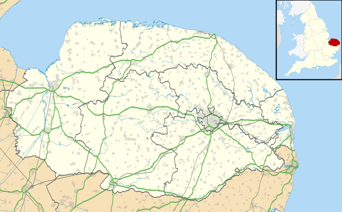
Wiggenhall St Germans is a civil parish in the English county of Norfolk in the East of England. It is 85 miles (137 km) north of London and 5 miles (8.0 km) south-west of King's Lynn. The parish covers an area of 18.98 km2 (7.33 sq mi) and had a population of 1,373 in 554 households in the 2011 census.[1]
The parish is situated on the River Great Ouse which divides the village into two parts. Most of the parish lies below the high-water mark and some areas are level with the bed of the river, which is confined by high banks.[2]
The parish includes the hamlets of Wiggenhall St Mary the Virgin and Wiggenhall St Peter. It was the site of Fitton, the ancient seat of the Howard family, later the dukes of Norfolk.[2]
Governance
Wiggenhall St Germans is part of the electoral ward called Wiggenhall. The population of this ward at the 2011 Census was 2,102.[3]
References
- ↑ Office for National Statistics (2011). "Neighbourhood Statistics — Wiggenhall St Germans". Retrieved 29 May 2013.
- 1 2 Samuel Lewis, ed. (1848). "Wiggenhall-Wigton". A Topographical Dictionary of England. British History Online. Retrieved 7 June 2013.
- ↑ "Wiggenhall Ward population 2011". Retrieved 30 August 2015.
External links
![]() Media related to Wiggenhall St Germans at Wikimedia Commons
Media related to Wiggenhall St Germans at Wikimedia Commons