West Humboldt Range
| West Humboldt Range | |
|---|---|
 View of Topog Peak and the westernmost part of the West Humboldt Range from U.S. Route 95 near the junction with Interstate 80 | |
| Highest point | |
| Elevation | 1,876 m (6,155 ft) |
| Geography | |
| Country | United States |
| State | Nevada |
| District | Pershing County and Churchill County |
| Settlement | Lovelock, NV |
| Range coordinates | 40°03′22″N 118°21′54″W / 40.056°N 118.3651°WCoordinates: 40°03′22″N 118°21′54″W / 40.056°N 118.3651°W |
| Topo map | USGS Wildhorse Spring |
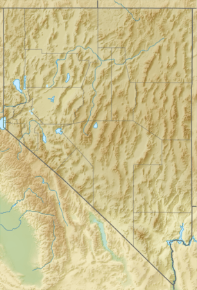
The West Humboldt Range is a short mountain range in the western Great Basin in northwestern Nevada in the United States.
Geography
The mountain range runs for approximately 40 mi (64 km) southwest to northeast in northern Churchill County and southern Pershing County. The southwest end of the range is approximately 60 mi (100 km) ENE of Reno.
The range separates the lower course and terminus-(Humboldt Lake) of the Humboldt River and the Humboldt Sink on the northwest side from the expansive Carson Sink on the south and southeast side. Interstate 80 follows the course of the Humboldt along the northwest side of the range. During the last ice age, the range stood along the shore of Lake Lahontan, the prehistoric shorelines and beaches of which are visible along the sides of the range.
Few peaks in the range are named; one of the few with an official name is Topog Peak in northern Churchill County, near the southwestern end of the range.
History
In 1905 the Saurian Expedition, led by John C. Merriam and financed by Annie Alexander, explored the Triassic limestones of the range, discovering 25 specimens of Ichthyosaur.[2]

See also
- Mountain ranges of Nevada
- Great Basin
- Basin and Range Province
References
- ↑ "West Humboldt Range". Geographic Names Information System. United States Geological Survey. Retrieved 2009-05-03.
- ↑ Saurian Expedition of 1905
External links
| Wikimedia Commons has media related to West Humboldt Range. |