Washington State Route 501
| ||||
|---|---|---|---|---|
| Erwin O. Rieger Memorial Highway | ||||
|
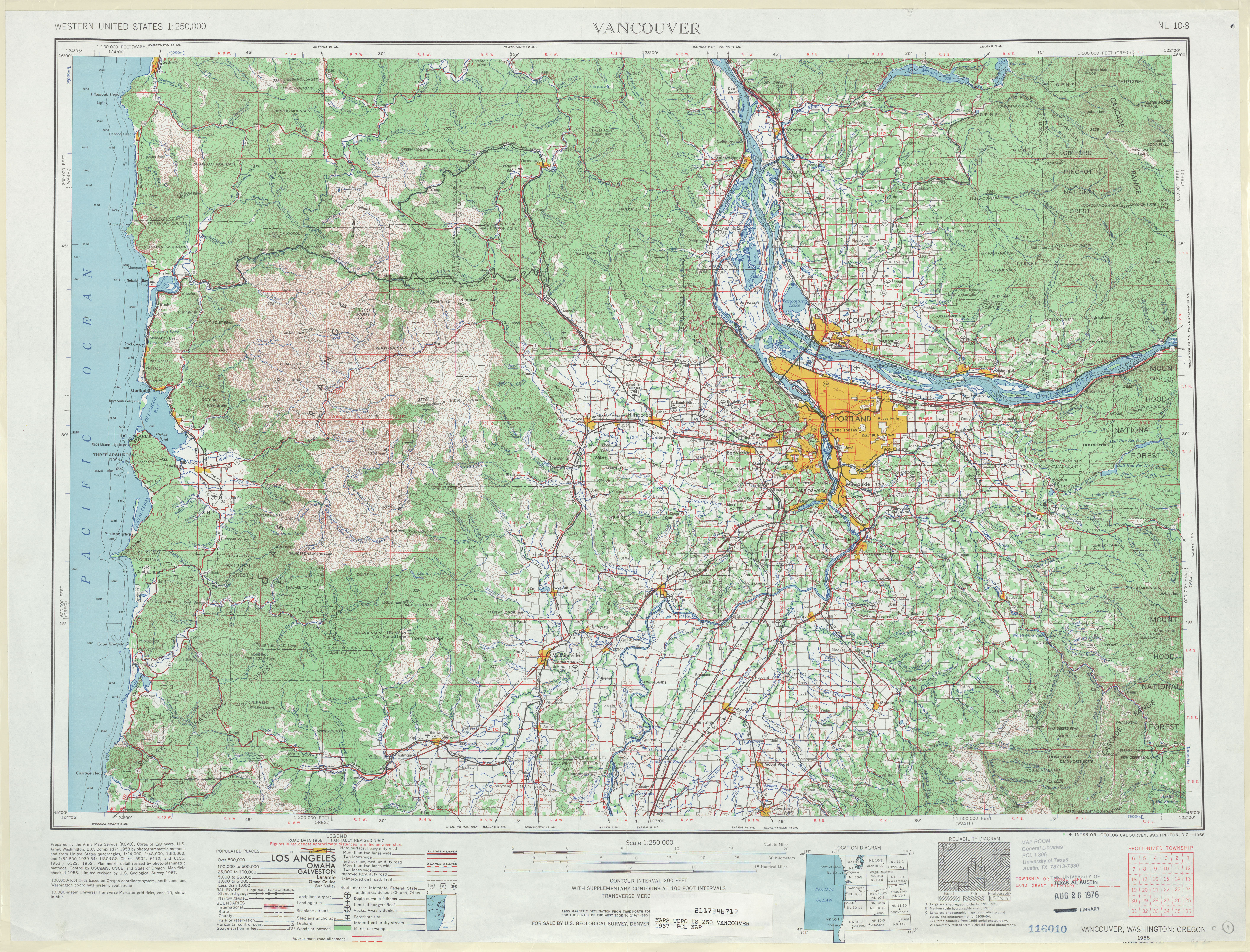
The existing highway is highlighted in red. The proposed completion is shown in dashed purple. | ||||
| Route information | ||||
| Auxiliary route of I‑5 | ||||
| Defined by RCW 47.17.640 | ||||
| Maintained by WSDOT | ||||
| Length: | 13.97 mi[1] (22.48 km) | |||
| Existed: | 1964[2] – present | |||
| Southern section | ||||
| Length: | 11.00 mi[1] (17.70 km) | |||
| South end: |
| |||
| North end: | Ridgefield NWR near Vancouver | |||
| Northern section | ||||
| Length: | 2.97 mi[1] (4.78 km) | |||
| West end: | Main Street in Ridgefield | |||
| East end: |
| |||
| Location | ||||
| Counties: | Clark | |||
| Highway system | ||||
| ||||


State Route 501 (SR 501, designated as the Erwin O. Rieger Memorial Highway) is a 13.97-mile-long (22.48 km) state highway in the southern part of the U.S. state of Washington. It is split into two sections in Clark County, a north–south alignment connecting Interstate 5 (I-5) in Vancouver to the Port of Vancouver and the Ridgefield National Wildlife Refuge, and a west–east alignment connecting Ridgefield to I-5. Prior to the 1964 highway renumbering, SR 501 was designated as Secondary State Highway 1T (SSH 1T), established in 1937 and re-aligned to serve the Port of Vancouver in 1963.
Route description
Southern section

The 11.00-mile-long (17.70 km) southern section of SR 501 and the Erwin O. Rieger Memorial Highway begins as the four-lane Mill Plain Boulevard at a diamond interchange with I-5 in Downtown Vancouver.[1][3] The highway travels west through Downtown Vancouver and splits into a one-way pair on 14th Street and 15th Street before rejoining as Mill Plain Boulevard.[4][5] SR 501 crosses a BNSF rail yard and enters the Port of Vancouver, becoming the Lower River Road and narrowing to a two-lane highway on the south side of Vancouver Lake.[6][7][8] The highway follows the Columbia and Lake rivers north past the Shillapoo Wildlife Recreation Area,[9][10] ending south of Post Office Lake in the Ridgefield National Wildlife Refuge.[11][12]
Every year, the Washington State Department of Transportation (WSDOT) conducts a series of surveys on its highways in the state to measure traffic volume. This is expressed in terms of average annual daily traffic (AADT), which is a measure of traffic volume for any average day of the year. In 2011, WSDOT calculated that the busiest section of SR 501 overall was west of I-5 at C Street, serving 13,000 vehicles, while the least busiest section of SR 501 overall was south of Shillapoo Wildlife Recreation Area, serving 650 vehicles.[13] Between I-5 and the Port of Vancouver, SR 501 is designated as part of WSDOT's Highway of Statewide Significance,[14] which include interstate highways and other principal arterials that are needed to connect major communities in the state of Washington.[15]
Northern section

The 2.97-mile-long (4.78 km) northern section of SR 501 within Ridgefield begins as Pioneer Street at an intersection with Main Street at the Ridgefield City Hall.[1][16] The highway travels east through Downtown Ridgefield, passing View Ridge Middle School, before crossing over Gee Creek.[17][18] SR 501 continues east through two roundabouts, at 45th Street Avenue and 56th Place, before ending at a diamond interchange with I-5.[19][20]
Every year, WSDOT conducts a series of surveys on its highways in the state to measure traffic volume. This is expressed in terms of AADT, which is a measure of traffic volume for any average day of the year. In 2011, WSDOT calculated that the busiest section of the northern section was the I-5 interchange, serving 11,000 vehicles, while the least busiest section was the intersection with Main Street in Downtown Ridgefield, serving 3,200 vehicles.[13]
History
SSH 1T was created in 1937 during the formation of the primary and secondary state highways,[21] traveling on a 18.86-mile-long (30.35 km) route north from Primary State Highway 1 (PSH 1) and U.S. Route 99 (US 99) in Vancouver through Felida and Ridgefield to PSH 1 and US 99 at Pioneer.[22][23] The highway was re-aligned in 1963 to serve the Port of Vancouver, traveling along the Columbia River to Ridgefield west of Vancouver Lake onto a roadway that was to be constructed.[24] SSH 1T became SR 501 during the 1964 highway renumbering and codified as such in 1970,[25][26] being designated as the Erwin O. Rieger Memorial Highway in 1991.[27]The highway between the Ridgefield National Wildlife Refuge and the city of Ridgefield has never been constructed and remains as a physical gap in the state highway system.[28] The interchange between I-5 and SR 501 east of Ridgefield was rebuilt by WSDOT between 2010 and 2012, adding roundabouts at intersections west and east of the interchange as well.[29]
Major intersections
The entire highway is in Clark County.
| Location | mi[1] | km | Destinations | Notes | |||
|---|---|---|---|---|---|---|---|
| Vancouver | 0.00– 0.05 | 0.00– 0.080 | Interchange | ||||
| | 11.00 | 17.70 | Ridgefield National Wildlife Refuge | ||||
| Gap in route | |||||||
| Ridgefield | 11.00 | 17.70 | Main Avenue | ||||
| 13.88– 13.97 | 22.34– 22.48 | Interchange | |||||
| 1.000 mi = 1.609 km; 1.000 km = 0.621 mi | |||||||
References
- 1 2 3 4 5 6 Staff (2012), State Highway Log: Planning Report 2011, SR 2 to SR 971 (PDF), Washington State Department of Transportation, pp. 1482–1487, retrieved February 10, 2013
- ↑ "47.17.640: State route No. 501 — Erwin O. Rieger Memorial Highway.", Revised Code of Washington, Washington State Legislature, 1970; revised 1984, 1991, retrieved February 10, 2013 Check date values in:
|date=(help) - ↑ SR 5 - Exit 1C: Junction SR 501/Mill Plain Blvd (PDF), Washington State Department of Transportation, May 25, 2011, retrieved February 10, 2013
- ↑ SR 501: Junction SR 501 CO VANCVR (PDF), Washington State Department of Transportation, October 3, 2004, retrieved February 10, 2013
- ↑ "Feature Detail Report for: Vancouver", Geographic Names Information System, United States Geological Survey, September 10, 1979, retrieved February 10, 2013
- ↑ 2011 Washington State Rail System (PDF) (Map). Washington State Department of Transportation. January 2012. Retrieved February 10, 2013.
- ↑ "Feature Detail Report for: Port of Vancouver", Geographic Names Information System, United States Geological Survey, September 10, 1979, retrieved February 10, 2013
- ↑ "Feature Detail Report for: Vancouver Lake", Geographic Names Information System, United States Geological Survey, September 10, 1979, retrieved February 10, 2013
- ↑ "Feature Detail Report for: Shillapoo Wildlife Recreation Area", Geographic Names Information System, United States Geological Survey, May 1, 1991, retrieved February 10, 2013
- ↑ "Feature Detail Report for: Lake River", Geographic Names Information System, United States Geological Survey, September 10, 1979, retrieved February 10, 2013
- ↑ "Feature Detail Report for: Ridgefield National Wildlife Refuge", Geographic Names Information System, United States Geological Survey, September 10, 1979, retrieved February 10, 2013
- ↑ Google (February 10, 2013). "State Route 501" (Map). Google Maps. Google. Retrieved February 10, 2013.
- 1 2 Staff (2011), 2011 Annual Traffic Report (PDF), Washington State Department of Transportation, pp. 184–185, retrieved February 10, 2013
- ↑ Transportation Commission List of Highways of Statewide Significance (PDF), Washington State Transportation Commission, July 26, 2009, retrieved February 10, 2013
- ↑ Lorenzo, Judy, Highways of Statewide Significance, Washington State Department of Transportation, retrieved February 10, 2013
- ↑ "Feature Detail Report for: Ridgefield", Geographic Names Information System, United States Geological Survey, September 10, 1979, retrieved February 10, 2013
- ↑ "Feature Detail Report for: View Ridge Middle School", Geographic Names Information System, United States Geological Survey, December 31, 1992, retrieved February 10, 2013
- ↑ "Feature Detail Report for: Gee Creek", Geographic Names Information System, United States Geological Survey, September 10, 1979, retrieved February 10, 2013
- ↑ SR 5 - Exit 14: Junction SR 501/Pioneer Street (PDF), Washington State Department of Transportation, May 24, 2011, retrieved February 10, 2013
- ↑ Google (February 10, 2013). "State Route 501" (Map). Google Maps. Google. Retrieved February 10, 2013.
- ↑ Washington State Legislature (March 18, 1937), "Chapter 207: Classification of Public Highways", Session Laws of the State of Washington, Session Laws of the State of Washington (1937 ed.), Olympia, Washington: Washington State Legislature, p. 997, retrieved February 10, 2013,
(s) Secondary State Highway No. 1T; beginning at Vancouver on Primary State Highway No. 1, thence in a northerly direction by the most feasible route by way of Sara to Ridgefield, thence in an easterly direction by the most feasible route to a junction with Primary State Highway No. 1 in the vicinity south of LaCenter.
- ↑ Staff (1960), Annual Traffic Report, 1960 (PDF), Washington State Highway Commission, Department of Highways, p. 161, retrieved February 10, 2013
- ↑ Vancouver, 1949 (JPG) (Map). 1:250,000. United States Geological Survey. 1949. Retrieved February 10, 2013.
- ↑ Washington State Legislature (1963), "Extended Session 3", Session Laws of the State of Washington, Session Laws of the State of Washington (1963 ed.), Olympia, Washington: Washington State Legislature
- ↑ Prahl, C. G. (December 1, 1965), Identification of State Highways (PDF), Washington State Highway Commission, Department of Highways, retrieved February 7, 2013
- ↑ Vancouver, 1967 (JPG) (Map). 1:250,000. United States Geological Survey. 1967. Retrieved February 7, 2013.
- ↑ Washington State Legislature (May 9, 1991), "Chapter 78: House Bill 1946 - Erwin O. Rieger Memorial Highway", Session Laws of the State of Washington, Session Laws of the State of Washington (1991 ed.), Olympia, Washington: Washington State Legislature, retrieved February 10, 2013
- ↑ Washington State Highways, 2011–2012 (PDF) (Map). 1:842,000. Washington State Department of Transportation. 2011. Retrieved February 10, 2013.
- ↑ Tams, Chris (October 2012), I-5 - SR 501 Ridgefield Interchange - Complete October 2012, Washington State Department of Transportation, retrieved February 10, 2013