Washington State Route 171
| ||||
|---|---|---|---|---|
| Broadway Avenue | ||||
|
SR 171 is highlighted in red. | ||||
| Route information | ||||
| Auxiliary route of SR 17 | ||||
| Defined by RCW 47.17.350 | ||||
| Maintained by WSDOT | ||||
| Length: | 3.79 mi[1] (6.10 km) | |||
| Existed: | 1964[2] – present | |||
| Major junctions | ||||
| South end: |
| |||
|
| ||||
| North end: |
| |||
| Location | ||||
| Counties: | Grant | |||
| Highway system | ||||
| ||||

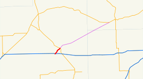
State Route 171 (SR 171, named Broadway Avenue) is a 3.79-mile (6.10 km) long state highway serving the city of Moses Lake in Grant County, located in the U.S. state of Washington. Broadway Avenue begins at an interchange with Interstate 90 (I-90) and travels northeast through Downtown Moses Lake concurrent to Interstate 90 Business and parallel to Parker Horn before ending at an intersection with SR 17. Broadway Avenue was previously part of Primary State Highway 18 (PSH 18) and U.S. Route 10 (US 10) until the 1964 highway renumbering. The highway also has an un-built extension from Moses Lake northeast to Odessa that was first legislated in 1955 as Secondary State Highway 7E (SSH 7E).
Route description
State Route 171 (SR 171) and Interstate 90 Business (I-90 Business) begin their 2.99-mile (4.81 km) long concurrency as Broadway Avenue at a diamond interchange with Interstate 90 (I-90) in Moses Lake.[3] The street travels north over a branch of the Columbia Basin Railroad into Downtown Moses Lake and turns northeast to parallel the Parker Horn before the split between SR 171 and I-90 Business, which becomes Pioneer Way.[1][4][5] The highway continues northeast to leave Downtown Moses Lake and end at an intersection with SR 17, which bypasses the city.[6]
Every year the Washington State Department of Transportation (WSDOT) conducts a series of surveys on its highways in the state to measure traffic volume. This is expressed in terms of average annual daily traffic (AADT), which is a measure of traffic volume for any average day of the year. In 2011, WSDOT calculated that between 3,900 and 21,000 vehicles per day used the highway, mostly in the Yakima area.[7]
History
Broadway Avenue was originally part of Primary State Highway 18 (PSH 18), which extended from George to Ritzville. PSH 18 was created in 1937 and crossed the western part of Moses Lake into Downtown Moses Lake on a bridge that was built in 1924.[8][9][10] U.S. Route 10 (US 10) was re-routed onto PSH 18 in the 1940s,[11][12][13] and both highways began using a proposed southern bypass of the city in 1955.[14] A road connecting Moses Lake to Odessa in the northeast was proposed in the late 1940s,[15] and was signed into law in 1955 as Secondary State Highway 7E.[16] Interstate 90 (I-90) replaced US 10 and PSH 18 during the creation of the Interstate Highway System in 1956,[17] and SSH 7E was replaced by State Route 171 (SR 171) in a 1964 renumbering.[2][18] No major revisions to the highway have occurred since 1964, and the route to Odessa remains un-built as of 2012.[19]
Major intersections
The entire highway is in Moses Lake, Grant County.
| mi[1] | km | Destinations | Notes | ||
|---|---|---|---|---|---|
| 0.00– 0.07 | 0.00– 0.11 | Southern terminus; interchange; south end of SR 171 / I-90 Business overlap | |||
| 2.99 | 4.81 | North end of SR 171 / I-90 Business overlap | |||
| 3.79 | 6.10 | Northern terminus | |||
| 1.000 mi = 1.609 km; 1.000 km = 0.621 mi | |||||
References
- 1 2 3 Staff (2012), State Highway Log: Planning Report 2011, SR 2 to SR 971 (PDF), Washington State Department of Transportation, pp. 1161–1163, retrieved January 14, 2013
- 1 2 "47.17.350: State route No. 171", Revised Code of Washington, Washington State Legislature, 1970, retrieved January 14, 2013
- ↑ SR 90 - Exit 176: Junction SR 171/Broadway Avenue (PDF), Washington State Department of Transportation, March 14, 2011, retrieved January 14, 2013
- ↑ "Feature Detail Report for: Parker Horn", Geographic Names Information System, United States Geological Survey, September 10, 1979, retrieved January 14, 2013
- ↑ 2011 Washington State Rail System (PDF) (Map). Washington State Department of Transportation. January 2012. Retrieved January 14, 2013.
- ↑ Google (January 14, 2013). "State Route 171" (Map). Google Maps. Google. Retrieved January 14, 2013.
- ↑ Staff (2011), 2011 Annual Traffic Report (PDF), Washington State Department of Transportation, pp. 151–152, retrieved January 14, 2013
- ↑ Washington State Legislature (March 17, 1937), "Chapter 190: Establishment of Primary State Highways", Session Laws of the State of Washington, Session Laws of the State of Washington (1937 ed.), Olympia, Washington: Washington State Legislature, p. 941, retrieved January 14, 2013,
SEC. 18. A primary state highway to be known as Primary State Highway No. 18 is hereby established according to description as follows: Beginning at the wye junction on Primary State Highway No. 7, near Burke, thence in an easterly direction by the most feasible route by way of Neppel to a junction with Primary State Highway No. 11 at Ritzville.
- ↑ "Moses Lake Bridge Opened", The Spokesman-Review, Spokane, Washington, p. 6, December 20, 1924, retrieved January 14, 2013
- ↑ Highways of the State of Washington (DJVU) (Map). Cartography by Rand McNally. Department of Highways. 1939. Retrieved January 14, 2013.
- ↑ Northwest, 1946 (Map). Rand McNally. 1946. Retrieved January 14, 2013.
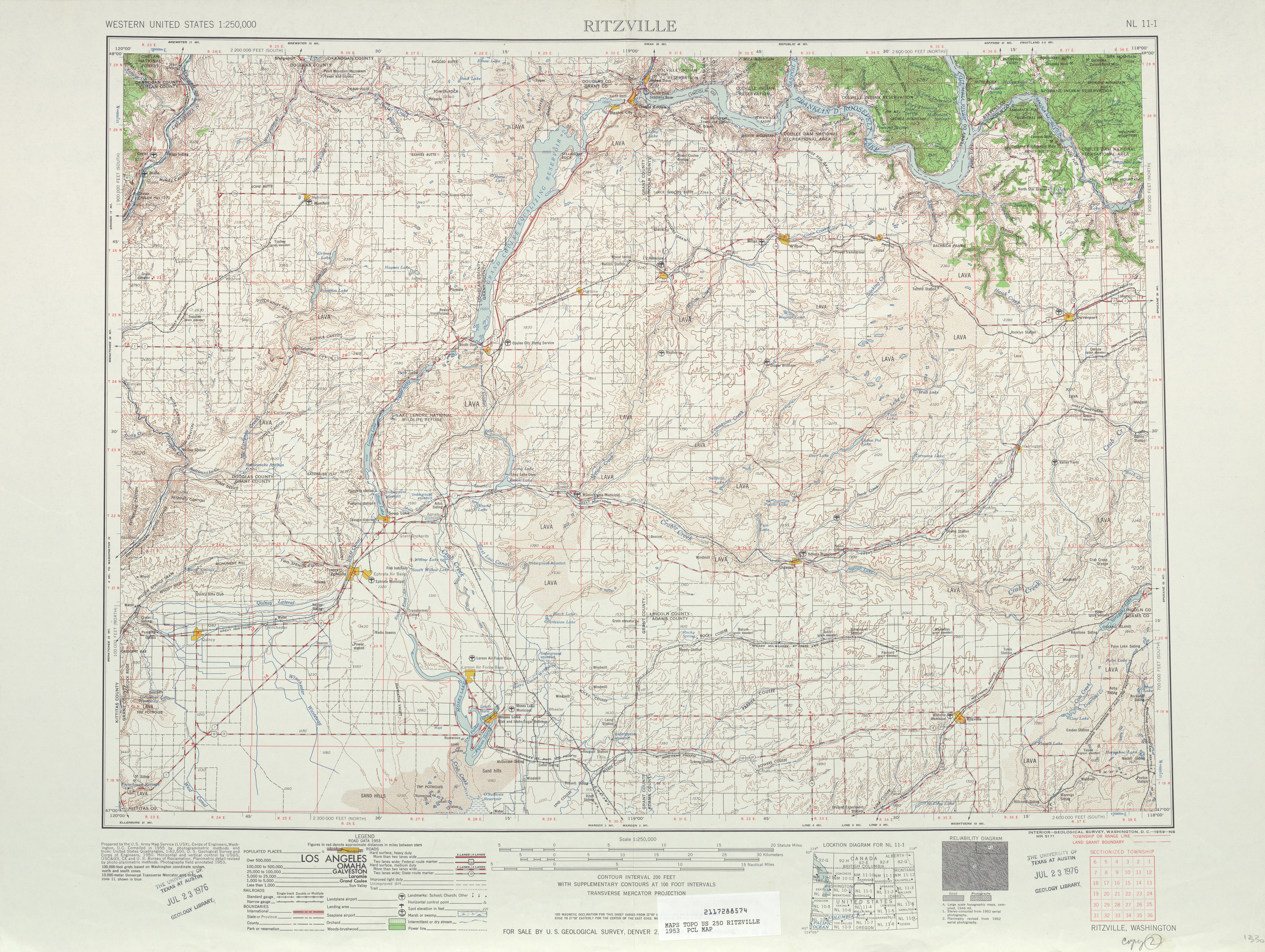
- ↑ Ritzville, 1953 (JPG) (Map). 1:250,000. United States Geological Survey. 1953. Retrieved January 14, 2013.
- ↑ State of Washington Highway Map (DJVU) (Map). Department of Highways. 1950. Retrieved January 14, 2013.
- ↑ "$4,300,000 to Be Asked for Roads in Basin Area", The Spokane Chronicle, Spokane, Washington, p. 29, January 20, 1955, retrieved January 14, 2013
- ↑ "Street Paving Project is Set", The Spokesman-Review, Spokane, Washington, p. 37, March 24, 1951, retrieved January 14, 2013
- ↑ Washington State Legislature (1955), Session Laws of the State of Washington, Session Laws of the State of Washington (1955 ed.), Olympia, Washington: Washington State Legislature
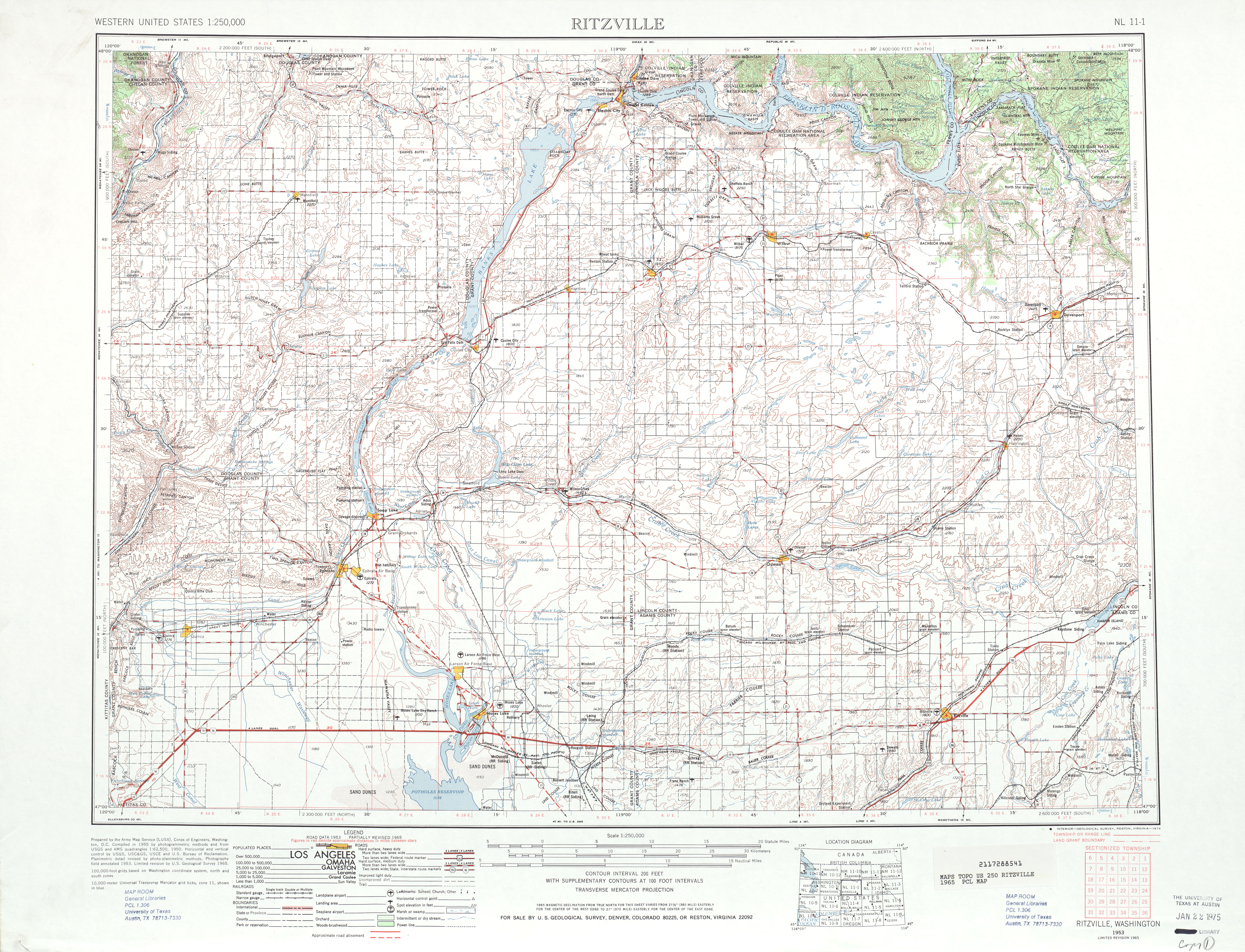
- ↑ Ritzville, 1965 (JPG) (Map). 1:250,000. United States Geological Survey. 1965. Retrieved January 14, 2013.
- ↑ Prahl, C. G. (December 1, 1965), Identification of State Highways (PDF), Washington State Highway Commission, Department of Highways, retrieved January 14, 2013
- ↑ Washington State Highways, 2011–2012 (PDF) (Map). 1:842,000. Washington State Department of Transportation. 2011. Retrieved January 14, 2013.