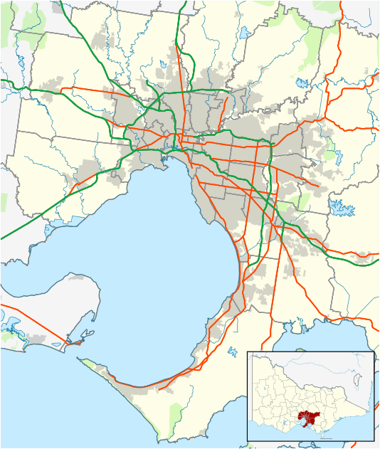
Wantirna, Victoria
| Wantirna Melbourne, Victoria | |||||||||||||
|---|---|---|---|---|---|---|---|---|---|---|---|---|---|
 Wantirna | |||||||||||||
| Coordinates | 37°50′38″S 145°13′44″E / 37.844°S 145.229°ECoordinates: 37°50′38″S 145°13′44″E / 37.844°S 145.229°E | ||||||||||||
| Population | 13,978 (2006 census)[1] | ||||||||||||
| • Density | 1,684/km2 (4,362/sq mi) | ||||||||||||
| Postcode(s) | 3152 | ||||||||||||
| Area | 8.3 km2 (3.2 sq mi) | ||||||||||||
| Location | 24 km (15 mi) from Melbourne | ||||||||||||
| LGA(s) | City of Knox | ||||||||||||
| State electorate(s) | Bayswater | ||||||||||||
| Federal Division(s) | Aston | ||||||||||||
| |||||||||||||
Wantirna is a suburb of Melbourne in Victoria, Australia. It is 24 km east of Melbourne's central business district. Its local government area is the City of Knox. According to the 2006 census Wantirna had a population of 13,978. Its name is derived from the local aboriginal population's meaning for, "a gurgling stream".
The Knox Private Hospital and Westfield Knox shopping centre are located in Wantirna.
The EastLink tollway runs through Wantirna with interchanges at Boronia Road and Burwood Highway.
Wantirna was first settled in 1840 when Mrs. Madeline Scott established the "Bushy Park" cattle run on the banks of the Dandenong Creek. During the 1870s other pioneers opened up the area to settlement.[2] In 1912 the need for a school to serve the local area soon became apparent in this small but fast-growing area; the Finger family donated two acres of land on the southern side of Mountain Hwy (then known as Wantirna-Sassafrass Rd) and a timber schoolhouse was opened. The Finger and Fankhauser families were prime movers in the erection of the Methodist Church opened opposite the school in May 1914, and a Parish Hall was built on Burwood Highway in 1924. Wantirna Post Office opened on 1 November 1913, closed in 1977, and reopened in 1983.[3] The Wantirna Reserve was provided by the council in 1925 and a tennis court was built there shortly afterwards. In December 1939, after the outbreak of World War II, West Prussia Road was renamed Wantirna Road.
Locations in Wantirna, especially Westfield Knox, are occasionally used to shoot the soap opera Neighbours. Koomba Park is a large native bushland park spanning the area between Dandenong Creek and the Eastlink Tollway. It is run by Parks Victoria and was opened in 1982. The Victorian Jazz Archive is located within Koomba Park.
Schools
Schools in Wantirna include Wantirna Primary School, Wantirna College, Wantirna Heights School, Regency Park Primary School, Templeton Primary School and St Lukes Primary School, also recently St. Andrew's Christian College
Churches
- Hills Bible Church
- Knox Presbyterian Church
- The Church of Jesus Christ of Latter-day Saints, Stake Centre and the Melbourne Australia Temple (http://www.lds.org.au)
References
- ↑ Australian Bureau of Statistics (25 October 2007). "Wantirna (State Suburb)". 2006 Census QuickStats. Retrieved 29 September 2007.
- ↑ Knox City Council - City of Knox Suburb Histories
- ↑ Premier Postal History, Post Office List, retrieved 11 April 2008