Wanaku Kimray
| Wanaku Kimray | |
|---|---|
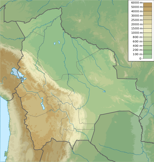 Wanaku Kimray Location within Bolivia | |
| Highest point | |
| Elevation | 4,084 m (13,399 ft) [1] |
| Coordinates | 19°38′15″S 64°38′32″W / 19.63750°S 64.64222°WCoordinates: 19°38′15″S 64°38′32″W / 19.63750°S 64.64222°W |
| Geography | |
| Location |
Bolivia, Chuquisaca Department |
| Parent range | Andes |
Wanaku Kimray (Quechua wanaku guanaco, kimray slope,[2] "guanaco slope", also spelled Huanaco Quimray) is a 4,084-metre-high (13,399 ft) mountain in the Bolivian Andes. It is located in the Chuquisaca Department, Azurduy Province, Tarvita Municipality. Wanaku Kimray lies southwest of Wallqayuq Urqu and north of Muyu Urqu.[1][3]
References
Capital: Sucre | ||
| Provinces |  | |
| Municipalities and seats |
| |
This article is issued from Wikipedia - version of the 4/30/2016. The text is available under the Creative Commons Attribution/Share Alike but additional terms may apply for the media files.