Villaguay Aerodrome
| Villaguay Aerodrome | |||||||||||
|---|---|---|---|---|---|---|---|---|---|---|---|
| IATA: none – ICAO: SAAU | |||||||||||
| Summary | |||||||||||
| Airport type | Public | ||||||||||
| Serves | Villaguay | ||||||||||
| Location | Argentina | ||||||||||
| Elevation AMSL | 141 ft / 43 m | ||||||||||
| Coordinates | 31°51′2.6″S 059°4′22.8″W / 31.850722°S 59.073000°WCoordinates: 31°51′2.6″S 059°4′22.8″W / 31.850722°S 59.073000°W | ||||||||||
| Map | |||||||||||
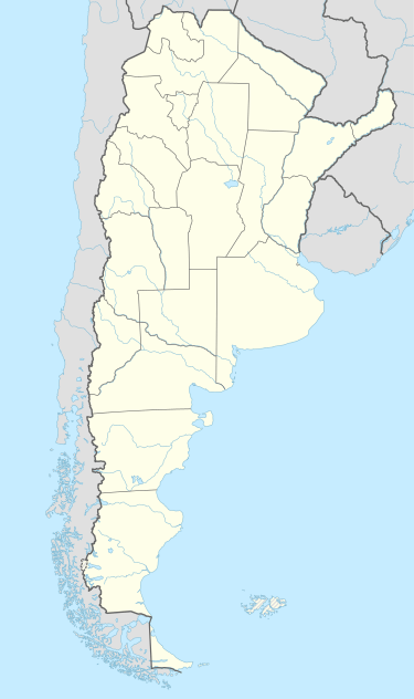 SAAU Location of Villaguay Aerodrome in Argentina | |||||||||||
| Runways | |||||||||||
| |||||||||||
Villaguay Aerodrome (ICAO: SAAU) is a public use airport located 5 kilometres (3 mi) west-northwest of Villaguay, Entre Ríos, Argentina.
See also
References
- ↑ Airport record for Villaguay Aerodrome at Landings.com. Retrieved 2 September 2013
- ↑ Google (2 September 2013). "location of Villaguay Aerodrome" (Map). Google Maps. Google. Retrieved 2 September 2013.
External links
- Airport record for Villaguay Aerodrome at Landings.com
This article is issued from Wikipedia - version of the 11/10/2016. The text is available under the Creative Commons Attribution/Share Alike but additional terms may apply for the media files.