Victoria Boulevard Historic District
|
Victoria Boulevard Historic District | |
  | |
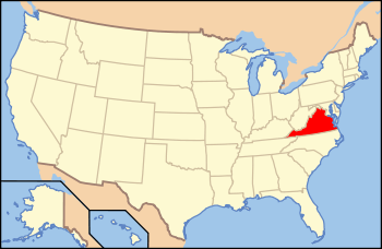
| Location | Roughly bounded by Sunset Creek, Armisted and Linden Aves., and Bridge St., Hampton, Virginia |
|---|---|
| Coordinates | 37°01′09″N 76°20′53″W / 37.01917°N 76.34806°WCoordinates: 37°01′09″N 76°20′53″W / 37.01917°N 76.34806°W |
| Area | 38 acres (15 ha) |
| Built | 1888 |
| Architectural style | Colonial Revival, Queen Anne, American Foursquare |
| NRHP Reference # | 84000039[1] |
| VLR # | 114-0112 |
| Significant dates | |
| Added to NRHP | October 4, 1984 |
| Designated VLR | August 21, 1984[2] |
Victoria Boulevard Historic District is a national historic district located at Hampton, Virginia. The district encompasses 87 contributing buildings in a streetcar suburb originally laid out in 1888. The primarily residential district includes notable examples of the Queen Anne and Colonial Revival styles. Notable dwellings include the house of developer Frank Darling (c. 1895), Reed House (c. 1902), and the James Darling II residence (1927).[3]
It was listed on the National Register of Historic Places in 1984.[1]
References
- 1 2 National Park Service (2010-07-09). "National Register Information System". National Register of Historic Places. National Park Service.
- ↑ "Virginia Landmarks Register". Virginia Department of Historic Resources. Retrieved 19 March 2013.
- ↑ Virginia Historic Landmarks Commission Staff (August 1984). "National Register of Historic Places Inventory/Nomination: Victoria Boulevard Historic District" (PDF). Virginia Department of Historic Resources. and Accompanying photo and Accompanying map

This article is issued from Wikipedia - version of the 11/30/2016. The text is available under the Creative Commons Attribution/Share Alike but additional terms may apply for the media files.