Vicecomodoro Ángel de la Paz Aragonés Airport
| Vicecomodoro Ángel de la Paz Aragonés Airport Aeropuerto de Santiago del Estero – Vicecomodoro Ángel de la Paz Aragonés | |||||||||||
|---|---|---|---|---|---|---|---|---|---|---|---|
| IATA: SDE – ICAO: SANE | |||||||||||
| Summary | |||||||||||
| Airport type | Public / Militar | ||||||||||
| Operator | Government and Aeropuertos Argentina 2000 S.A. | ||||||||||
| Serves | Santiago del Estero, Argentina | ||||||||||
| Location | Av. Madre de Ciudades S/N. (G4200) SANTIAGO DEL ESTERO | ||||||||||
| Elevation AMSL | 200 m / 656 ft | ||||||||||
| Coordinates | 27°45′22″S 064°17′56″W / 27.75611°S 64.29889°WCoordinates: 27°45′22″S 064°17′56″W / 27.75611°S 64.29889°W | ||||||||||
| Map | |||||||||||
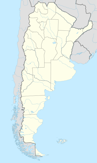 SDE Airport in Argentina | |||||||||||
| Runways | |||||||||||
| |||||||||||
| Statistics (2007) | |||||||||||
| |||||||||||
Vicecomodoro Ángel de la Paz Aragonés Airport (Spanish: Aeropuerto de Santiago del Estero – Ángel de la Paz Aragonés) (IATA: SDE, ICAO: SANE) is located 6 km (3.7 mi) north-northwest of the center of Santiago del Estero, a city in the Santiago del Estero Province of Argentina. The airport covers an area of 526 hectares (1299 acres) and is operated by Aeropuertos Argentina 2000 S.A.[1]
Also known as Santiago del Estero Airport or Mal Paso Airport, it was built in 1959 and the runway was re-paved in 2001. It has 109,000 m² of runways, 10,350 m² of taxiways, a 1,000 m² terminal, and place for parking 45 cars. In 2007, it handled 49,517 passengers. The airport does not handle international flights. Served by Aerolineas Argentinas 737-800 and 737-700
Airlines and destinations
| Airlines | Destinations |
|---|---|
| Aerolíneas Argentinas | Buenos Aires-Aeroparque |
References
- 1 2 (Spanish) Aeropuerto de Santiago del Estero "Vcom. Angel de la Paz Aragones" at Organismo Regulador del Sistema Nacional de Aeropuertos (ORSNA)
- ↑ Airport information for SANE at World Aero Data. Data current as of October 2006.Source: DAFIF.
- ↑ Airport information for SDE at Great Circle Mapper. Source: DAFIF (effective October 2006).
External links
- Santiago del Estero, SDE at Aeropuertos Argentina 2000 (official web site)
- Current weather for SANE at NOAA/NWS
- Accident history for SDE at Aviation Safety Network