Odalguri
| Odalguri ওদালগুৰি Udalguri Town | |
|---|---|
| city | |
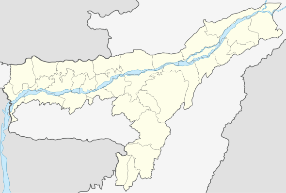 Odalguri  Odalguri Location in Assam, India | |
| Coordinates: 26°44′43″N 92°05′46″E / 26.7452°N 92.0962°ECoordinates: 26°44′43″N 92°05′46″E / 26.7452°N 92.0962°E | |
| Country |
|
| State | Assam |
| District | Udalguri-BTAD-Bodoland Territorial Autonomous District |
| Government | |
| • Body | Udalguri Town Committee |
| Area | |
| • Total | 4.69 km2 (1.81 sq mi) |
| Elevation | 180 m (590 ft) |
| Population (2011) | |
| • Total | 15,268 |
| • Density | 3,300/km2 (8,400/sq mi) |
| Languages | |
| • Official | Bodo, Assamese |
| Time zone | IST (UTC+5:30) |
| PIN | 784509 |
| Telephone code | 03711 XXXXXX |
| Vehicle registration | AS-27 |
| Website |
udalguri |
Odalguri (Assamese: ওদালগুৰি, /ˌɒdɑːlˈɡʊərɪ/; also spelt Udalguri) is a town and a town area committee and the headquarters of Udalguri district in the north-eastern Indian state of Assam. It is the largest town in the district, with an area of 4.69 sq.km. (the second being Tangla town, area 3.10 sq.km.). The length of the town is approximately 3.00 km and breadth is 1.6 km. It is divided into six wards. It has had a small increase of population of only about 2.5% in the last 10 years. Earlier, Udalguri was a sub-divisional headquarters in Darrang District. But after signing of Bodo Accord, An Autonomous District called Bodoland Territorial Autonomous District (BTAD) was created and Odalguri district became one of the four Districts under BTAD. Odalguri became the district headquarters when the new district was inaugurated on June 14, 2004.
Geography
Odalguri is located at 26°44′43″N 92°05′46″E / 26.7452°N 92.0962°E.[1] It has an average elevation of 180 metres (590 feet).
Demographics
According to the 2011 census Odalguri town has a population of 15,268.
The major communities include Bodo Kachari, Assamese, Tea-tribes, Nepali and Bengali. There are also a small population of Rabha, Muslim, Nishi and Garo.
Weather
Like the north-eastern part of India, the weather is pleasant with winters not being that harsh and the rainy season in full swing from March to August.
Festivals
Bihu or Bwisagu is the most celebrated festival and it falls in the month of April. Populated with people of different religions, Christmas is also celebrated with full fervour. Many churches are present in Odalguri and during Christmas, they are all beautifully decorated and late night hymns can be heard. Durga Puja is celebrated in different parts of Udalguri during durga festival.
Place of interest near Odalguri

Transport
Rail
Odalguri is well connected with Guwahati and rest of the country through broad gauge railway line. The approximate distance from Guwahati is 103 km.
Road
Odalguri is also well connected with Guwahati, Tezpur and Mangaldai. Udalguri is situated at 14 km away from Rowta which is connected with NH52. Odalguri is 60 km away from Mangaldai, 90 km Tezpur and 120 km away from Guwahati. Buses are available at regular intervals from Odalguri to any of these places. Connectivity is good and one can travel from Guwahati to Rowta in Guwahati-Tezpur Bus and take a cab/auto from Rowta to Odalguri. Also direct buses are available from ASTC Bus stand, Machkhowa, Guwahati.
Politics
Odalguri is part of Mangaldoi (Lok Sabha constituency).[2]
References
- ↑ Falling Rain Genomics, Inc - Odalguri
- ↑ "List of Parliamentary & Assembly Constituencies" (PDF). Assam. Election Commission of India. Retrieved 2008-10-06.