Twin Mountain, New Hampshire
| Twin Mountain, New Hampshire | |
|---|---|
| Unincorporated community | |
|
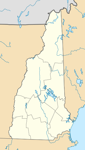
Mount Washington Cog Railway display in center of Twin Mountain | |
 Twin Mountain  Twin Mountain | |
| Coordinates: 44°16′20″N 71°32′20″W / 44.27222°N 71.53889°WCoordinates: 44°16′20″N 71°32′20″W / 44.27222°N 71.53889°W | |
| Country | United States |
| State | New Hampshire |
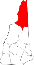
| County | Coos |
| Town | Carroll |
| Elevation | 1,401 ft (427 m) |
| Time zone | Eastern (EST) (UTC-5) |
| • Summer (DST) | EDT (UTC-4) |
| ZIP code | 03595 |
| Area code(s) | 603 |
| GNIS feature ID | 870556[1] |

Twin Mountain is an unincorporated community within the town of Carroll in the White Mountains of New Hampshire. It is named for two prominent summits which rise to the south of the village, North Twin Mountain (4,761 ft or 1,451 m) and South Twin Mountain (4,902 ft or 1,494 m).[2]
The village is located at the junction of U.S. highways 3 and 302, two major routes through the White Mountain notches. The Ammonoosuc River flows through the center of the village.
Twin Mountain has a separate ZIP code (03595) from the rest of the town of Carroll.
References
- ↑ "Twin Mountain". Geographic Names Information System. United States Geological Survey.
- ↑ U.S. Geological Survey South Twin Mountain 7.5-minute topographic map, 1968.
External links
This article is issued from Wikipedia - version of the 6/22/2016. The text is available under the Creative Commons Attribution/Share Alike but additional terms may apply for the media files.