Tshikapa
| Tshikapa | |
|---|---|
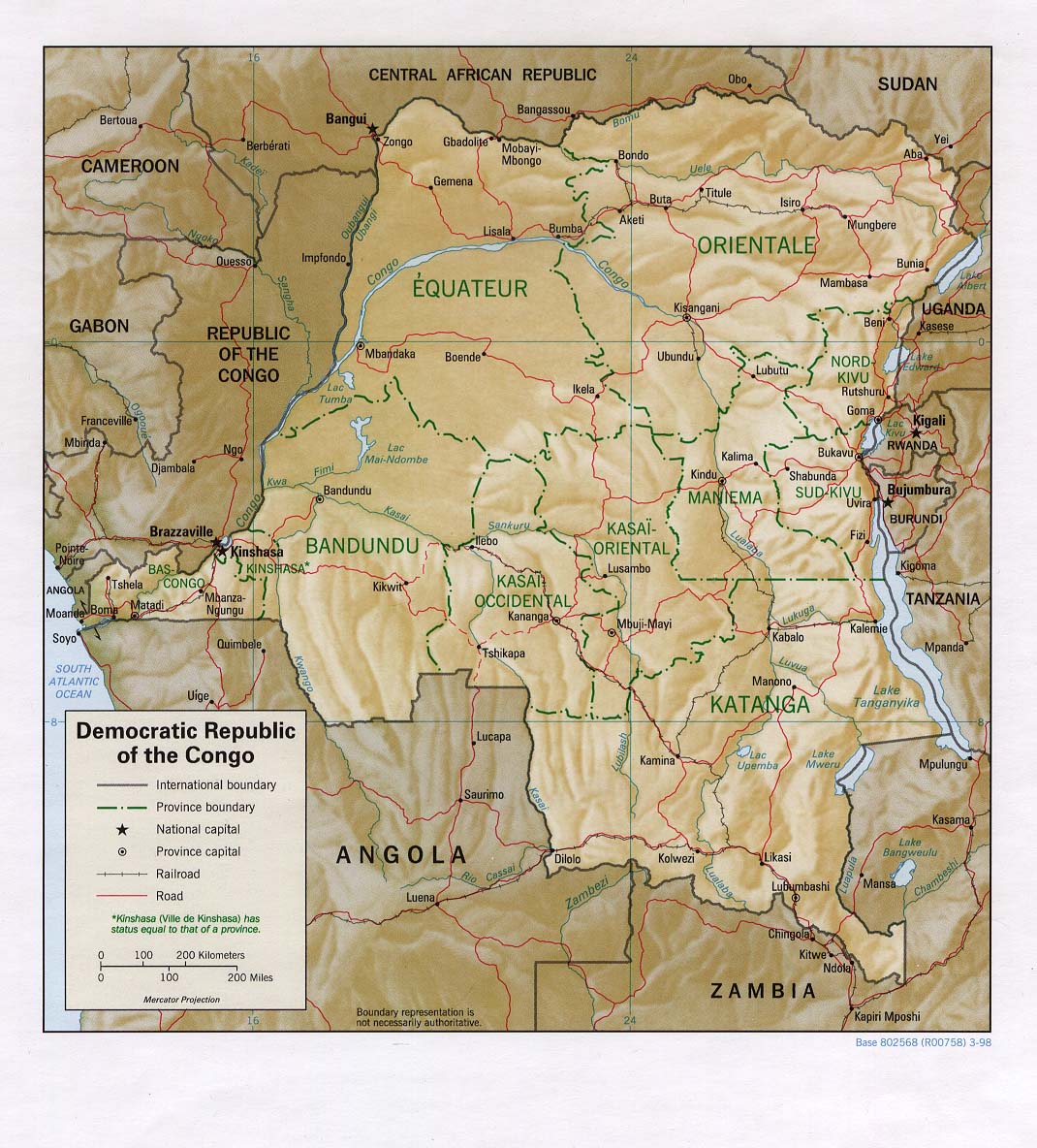
 Tshikapa Location in the Democratic Republic of the Congo | |
| Coordinates: 6°25′S 20°48′E / 6.417°S 20.800°E | |
| Country |
|
| Province | Kasaï-Occidental |
| Elevation | 485 m (1,591 ft) |
| Population (2012) | |
| • Total | 587,548 |
| Time zone | Lubumbashi Time (UTC+2) |
| Climate | Aw |
Tshikapa is a city in Kasaï District in the Democratic Republic of the Congo. The city is located about 40 miles north of the Angolan border and 120 miles west of province capital Kananga at the confluence of the Tshikapa and Kasai rivers. According to records published by the Utrecht University library, the population of the city has grown from 38,900 in 1970 to 180,900 in 1994. However the two recent Congo wars have caused great flux in population rendering current figures unreliable. Tshikapa has been a site of diamond mining since its founding in the early twentieth century. The city was founded by Forminière, an American/Belgian mining consortium which discovered diamonds near this location in the early 1900s.1 Outside post-war Iraq, Tshikapa has the densest source of satellite phone communications in the world due to the exploitation of the diamond mines.
The city is served by the Tshikapa Airport. The diamond industry is the main form of income for the city. Despite this, it is very poor; none of the roads are paved.[1]
References
- ↑ Baker, Aryn (7 September 2015). "Blood Diamonds". Time. Retrieved 13 September 2015.
External links
Coordinates: 6°25′S 20°48′E / 6.417°S 20.800°E
1. p.246 An African Adventure by Isaac F. Marcosson, Curtis Publishing Company, 1921