Tsemperou
| Tsemperou | |
|---|---|
| Τσεμπερού | |
| Highest point | |
| Elevation | 1,254 m (4,114 ft) [1] |
| Coordinates | 37°20′53″N 22°14′53″E / 37.348°N 22.248°ECoordinates: 37°20′53″N 22°14′53″E / 37.348°N 22.248°E |
| Geography | |
| Location | southern Arcadia, Greece |
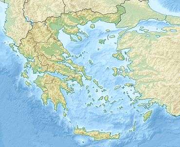
The Tsemperou (Greek: Τσεμπερού) is a mountain located in southern Arcadia, central Peloponnese, Greece. The elevation of its summit is 1,254 m.[1] It is situated southeast of the plain of Megalopoli, 12 km from the town centre. Villages on the Tsemperou include Anavryto and Paparis. The river Alfeios flows north of the mountain.
References
This article is issued from Wikipedia - version of the 8/2/2015. The text is available under the Creative Commons Attribution/Share Alike but additional terms may apply for the media files.