Trimley St Martin
| Trimley St. Martin | |
 Trimley St. Martin |
|
| Population | 1,942 (2011)[1] |
|---|---|
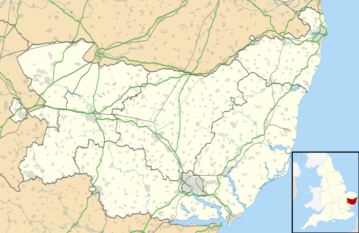
| OS grid reference | TM 274 377 |
| Shire county | Suffolk |
| Region | East |
| Country | England |
| Sovereign state | United Kingdom |
| Post town | Felixstowe |
| Postcode district | IP11 |
| Dialling code | 01394 |
| EU Parliament | East of England |
Coordinates: 51°59′28″N 1°18′47″E / 51.991°N 1.313°E
Trimley St. Martin is a parish and village that lies between the rivers Orwell and the Deben, on the long narrow tongue of land from Ipswich to Felixstowe referred to as the Colneis Hundred.
The village, and its neighbour Trimley St. Mary, are famous for their adjacent churches, which were built as the result of a historical family feud. St. Martin's church is the northerly church (at grid reference TM 276 370).
History
Archaeological findings in the Hams Farm area show evidence of prehistoric, Roman, Anglo-Saxon and late post-medieval workings, including fired flints and a number of Central Gaulish Samian ware pieces.[2] In nearby Walton, recent archaeological findings show evidence of Bronze Age field systems in use.[3] The Roman road through Trimley St Martin linked the Roman fort of Walton to the rest of Roman Britain. Recent evidence shows evidence of ring ditches near Cavendish Grove[4]
In the Middle Ages this area was often invaded, overrun, settled and populated by a variety of Scandinavian plunderers. These settlements all soon had their names, usually after the chieftain or leader. Over the centuries these first names have changed considerably, sometimes becoming quite unrecognisable. Trimley is no exception. It has variously been spelled as Tremeleaia, Tremlega, Tremlye, Tremele, Tremeleye, Tremleye and Tremley.
In the 14th century, the hamlet of Alston was incorporated into Trimley St Martin.
The parish was cut in half by the building of the Trimley-Walton bypass in 1974, which was built to stop port traffic going through the high streets of the Trimleys and Walton. In the early 1980s the village more than doubled in size with the building of the Barrett estate and other houses.
Grimston Hall
In the 16th century, Grimston Hall was the seat of Thomas Cavendish "The Navigator". The Suffolk Traveller (1735) by John Kirby reports that two lilacs planted by Thomas Cavendish were still standing.[5]
Pouch Meadow
In 1741 the Suffolk Traveller John Kirby (topographer) surveyed the area around Felixstowe and in his note on Trimley he mentioned 'the lane to the pouch', which led to a small meadow east of the two churches, which contained a spring of clear water, generally regarded the source of Kingsfleet. The stream and can still be seen following out from a concrete opening which was constructed when the Civil Engineers covered the greater part of the meadow with what is now known as the Trimley Roundabout (A14 Junction 59). During dredging of the stream to assist the construction of the by-pass a mill-stone was discovered which was identified as being medieval. The path which runs between a smock mill, which was near Mill Lane, and the top of pouch meadow is called Crows Well Way
Coprolite mining
Coprolite was mined heavily around Trimley St Martin and surrounding villages,[6] and at the height of the industry the open cast method of mining was used. Huge holes were dug in the countryside in order to get at the precious commodity. Owners of land with viable seams were offered around £20 for the rights to mine their land, the price of a nice house in the Victorian era. Commercial mining was driven by large companies like Packards and Fisons.
RAF Trimley Heath
RAF Trimley Heath is one of Suffolk's most recognisable roadside structures – an imposing red-brick building set, half hidden by trees, alongside the eastbound A14 carriageway opposite Trimley St Martin. Yet, despite its many millions of passers-by over the last fifty years, its historical significance is known, probably, by no more than a comparative handful of people, mainly those who served at the site during wartime or while undergoing post-war national service. Ironically, the most common assumption amongst those who have ever wondered – that the building was once an electricity supply industry substation – is also the most accurate. It was in fact the Standby Power House for RAF Trimley Heath, a ground-controlled interception (GCI) radar station whose important role in Britain's air defence network was masked and largely forgotten after a devastating fire which destroyed almost all station records.[7]
The Great Fire
On the night of 19 June 2013, the village hall was gutted by fire.[8]
The future
There has been some controversy over plans to build a further 1,500 dwellings on the land owned by Trinity College, Cambridge. Some fear that the village identity would be lost, to be replaced by suburban sprawl, whilst others argue that there is a real need for additional housing in the area. Sixty-six new dwellings are being built on the site of the Mushroom Farm.[9] The demolishing of the Mushroom Farm buildings started in January, 2014.
Notable residents
- Thomas Cavendish (1560–1592), English explorer, "The Navigator"
- Maurice Norman (born 1934), footballer
References
- ↑ "Parish population 2011". Retrieved 18 September 2015.
- ↑ http://pixel.essex.ac.uk/cat/reports/CAT-report-0754.pdf
- ↑ http://www.suffolkcoastal.gov.uk/assets/Documents/District/Planning-DM/WaltonGreen/ES/12.1-DBA-November-2012-REDUCED.pdf
- ↑ http://publicaccessdocuments.eastsuffolk.gov.uk/NorthgatePublicDocs/01177543.pdf
- ↑ https://archive.org/stream/suffolktraveller00kirb/suffolktraveller00kirb_djvu.txt
- ↑ http://bernardoconnor.org.uk/Coprolites/Suffcops/TRIMLEY.htm
- ↑ http://www.suffolkaviationheritage.org.uk/trimleyheath.htm
- ↑ http://www.eadt.co.uk/news/gallery_update_fire_devastates_memorial_hall_in_trimley_st_martin_second_blaze_in_two_nights_police_treating_as_suspicious_1_2241961
- ↑ http://www.suffolkcoastal.gov.uk/yourdistrict/planning/devcontrol/applications/mushroomfarmtrimley/
External links
| Wikimedia Commons has media related to Trimley St Martin. |
- Trimley Vision - plans for the expansion of the village.
- Save Trimley Campaign
- Parish Council
- Trimley Sports And Social Club Members Bar and Function Hall
- Trimley St. Martin and the Coprolite Mining Rush