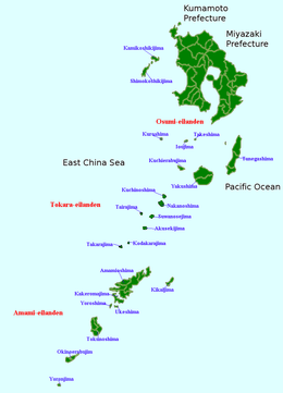
Tokara Islands
 Akusekijima | |
 Map of Kagoshima Prefecture | |
| Geography | |
|---|---|
| Coordinates | 29°58′00″N 129°55′01″E / 29.9667°N 129.917°ECoordinates: 29°58′00″N 129°55′01″E / 29.9667°N 129.917°E |
| Adjacent bodies of water | Pacific Ocean |
| Total islands | 12 |
| Administration | |
| Prefectures | Kagoshima |
| District | Kagoshima District |
| Village | Toshima |
| Demographics | |
| Population | 648 (2010) |
| Ethnic groups | Japanese |
The Tokara Islands (吐噶喇列島 Tokara-rettō) is an archipelago in the Nansei Islands, and are part of the Satsunan Islands, which is in turn part of the Ryukyu Archipelago. The 150 kilometres (81 nmi) chain consists of twelve small islands located between Yakushima and Amami-Oshima. The islands have a total area of 101.35 square kilometres (39.13 sq mi). Administratively, the whole group belongs to Toshima Village, Kagoshima Prefecture, Japan. Only seven of the islands are permanently inhabited. The islands, especially Takarajima, are home to the Tokara Pony.
Etymology
One theory holds that the name “Tokara” was derived from “tohara”, or “distant sea area” (沖の海原), as viewed from Okinawa. Another theory states that the name come from the Ainu word tokap, which means “breast”. The southernmost island in the archipelago, Takarajima, has a mountain Megamiyama (女神山 Goddess Mountain) with such a shape.
History
Mention is made in the Shoku Nihongi under an entry for the year 699 of an island called “Tokan” ( 度感 ), which is usually identified with Tokara, together with the islands of Tane, Yaku and Amami, although “Tokan” is also sometimes identified with Tokunoshima, an island approximately 150 kilometres (93 miles) away. However, an entry in the earlier Nihon Shoki for the year 654 mentions a "Tokara Country" ( 吐火罗国, Tokara no kuni ), but is in reference to Tukhāra, the land of the Tocharians, and has nothing to do with the Tokara Islands. During the 15th and 16th centuries, the islands came under the control of the Shimazu clan of Satsuma Domain and the Ryukyu Kingdom. Ryukyu ceded its territory in the Tokara Islands to Satsuma in 1611, which was confirmed by the Tokugawa Shogunate in 1624.
In 1908, the islands were administratively organized into Jitto Village (十島村 Jitto-mura, literally “Ten islands”), of which seven were inhabited. After World War II, from 2 February 1946 all of the Satsunan islands south of 30th Latitude, including the Tokara Islands, were placed under United States military administration as part of the Provisional Government of Northern Ryukyu Islands. However, the three northern inhabited islands in the archipelago, Iōjima, Kuroshima und Takeshima, remained under the control of Japan, and were placed under the administration of the village of Mishima. The remaining Tokara Islands reverted to Japan on 10 February 1952 and are now administered as the village of Toshima.
Islands


References
- National Geospatial Intelligence Agency (NGIA). Prostar Sailing Directions 2005 Japan Enroute. Prostar Publications (2005). ISBN 1577856511
External links
| Wikimedia Commons has media related to Tokara Islands. |
-
 Tokara Islands travel guide from Wikivoyage
 - Official website in Japanese
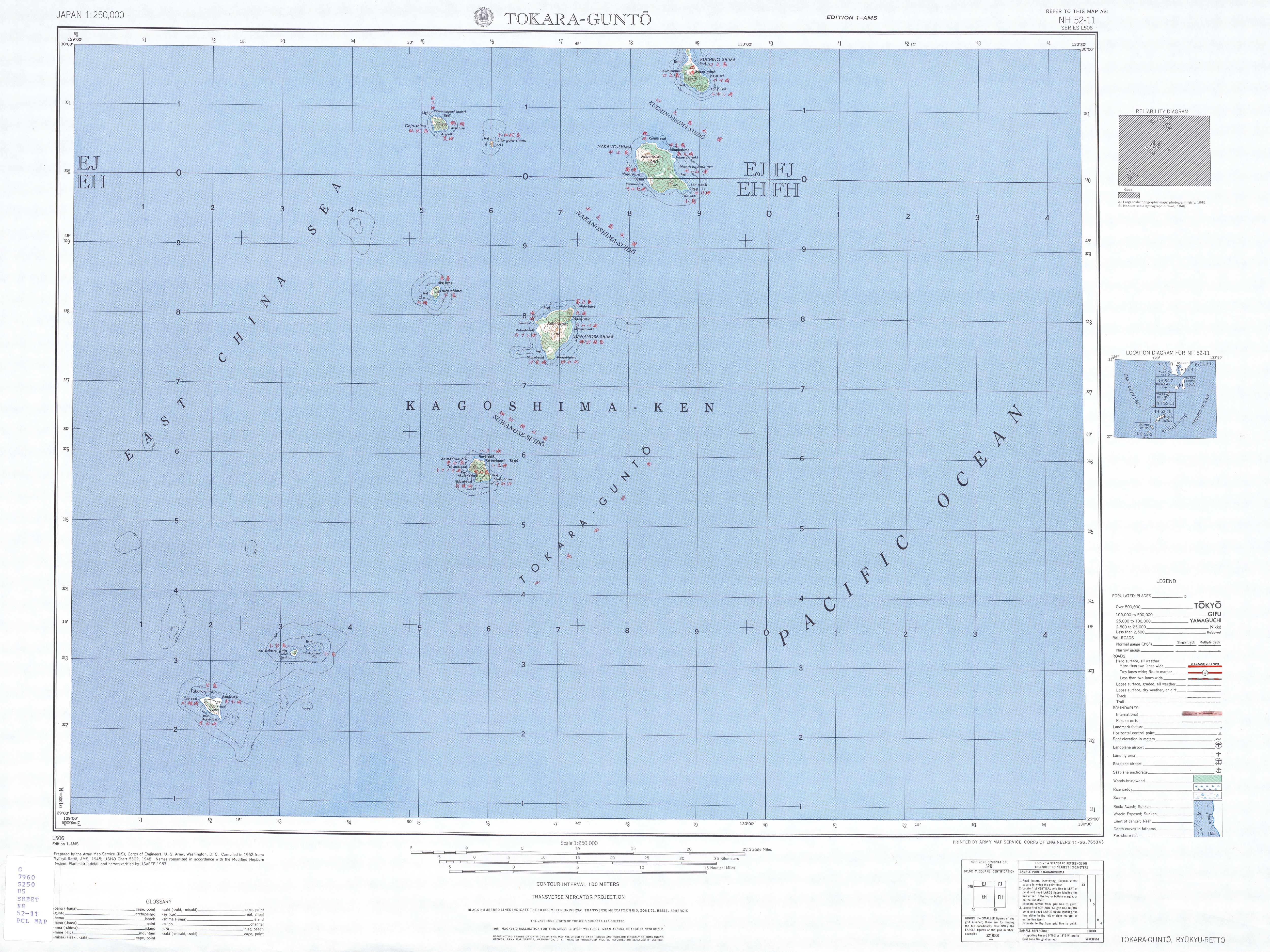
- Topographic Map 1:250.000