Thousand Lake Mountain
| Thousand Lake Mountain | |
|---|---|
 Thousand Lake Mountain from the south near Teasdale | |
| Highest point | |
| Elevation | 11,300 ft (3,444.2 m) NAVD 88[1] |
| Prominence | 2,346 ft (715 m) [2] |
| Coordinates | 38°25′01″N 111°28′45″W / 38.416962833°N 111.479210086°WCoordinates: 38°25′01″N 111°28′45″W / 38.416962833°N 111.479210086°W [1] |
| Geography | |
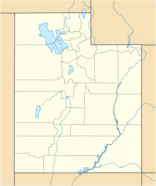 Thousand Lake Mountain Location in Utah | |
| Location | Wayne County, Utah, U.S. |
| Parent range | Aquarius Plateau |
| Topo map | USGS Flat Top |
| Climbing | |
| Easiest route | Hike |
Thousand Lake Mountain is in South-Central Utah, United States, just northwest of Capitol Reef National Park and north of Boulder Mountain. Thousand Lake Mountain is surrounded by several small towns (Loa, Lyman, Fremont, Bicknell, Teasdale, and Torrey). The areas on and around Thousand Lake Mountain are used for farming, camping, hiking, horseback riding, hunting, and fishing. Thousand Lake Mountain is located in the easternmost section of Fishlake National Forest. A section of the Great Western Trail traverses the mountain from north to south. Thousand Lake Mountain is covered in boulders while Boulder Mountain has many lakes. There are several stories supposing to explain the mismatched names, most feasibly a cartographer writing the names he had been given on the wrong hills and not catching the mistake before maps were published.
References
- 1 2 "Thousand Lake Mtn". NGS data sheet. U.S. National Geodetic Survey. Retrieved 2013-01-28.
- ↑ "Thousand Lake Mountain, Utah". Peakbagger.com. Retrieved 2013-01-28.
External links
![]() Media related to Thousand Lake Mountain at Wikimedia Commons
Media related to Thousand Lake Mountain at Wikimedia Commons
- "Thousand Lake Mountain". Geographic Names Information System. United States Geological Survey.
- "Thousand Lake Mountain". SummitPost.org.