Thale Ban National Park
| Thale Ban National Park | |
|---|---|
|
IUCN category II (national park) | |
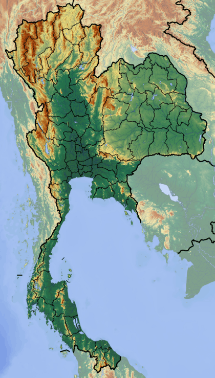 Location in Thailand | |
| Location | Satun Province, Thailand |
| Nearest city | Satun |
| Coordinates | 6°28′22″N 100°8′2″E / 6.47278°N 100.13389°ECoordinates: 6°28′22″N 100°8′2″E / 6.47278°N 100.13389°E |
| Area | 196 km2 (76 sq mi) |
| Established | October 27, 1980 |
Thale Ban National Park (Thai: ทะเลบัน) is a forested area south of the Banthat Mountains in southern Thailand, in the south of Satun Province directly at the boundary to Malaysia. The park was established on 27 October 1980. It covers an area of 196 square kilometres (76 square miles) of Khuan Don and Mueang Satun district.[1]
The nearest town to the park is Satun, approximately 30 km (20 mi) south heading towards Malaysia.
Geography
The park is located around a valley which formed the historic link between Thailand and Malaysia. According to local lore, 300 years ago an earthquake formed the lake in the valley, probably due to a landslide which created a natural dam. Submerged trees found within the lake seem to confirm this story. The limestone hills contain several caves. Tham Ton Din is a river cave near park HQ. The highest elevation within the park is Chin Mountain with an elevation of 756 metres (2,480 feet).
Fauna
The park is known to contain 64 mammal species, including the rare Pardofelis marmorata, Tapirus indicus and Capricornis sumatraensis, 282 bird species, most notable many hornbill species, 40 reptile, and 20 amphibian species were counted.
References
- ↑ "Thale Ban National Park". Department of National Parks (DNP) Thailand. Retrieved 8 August 2015.