Tevel
| Tevel | |
|---|---|
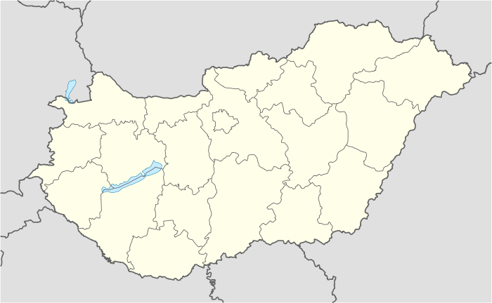 Location of Tevel | |
| Coordinates: 46°24′41″N 18°27′20″E / 46.41145°N 18.45553°ECoordinates: 46°24′41″N 18°27′20″E / 46.41145°N 18.45553°E | |
| Country |
|
| County | Tolna |
| Area | |
| • Total | 25.27 km2 (9.76 sq mi) |
| Population (2004) | |
| • Total | 1,692 |
| • Density | 66.95/km2 (173.4/sq mi) |
| Time zone | CET (UTC+1) |
| • Summer (DST) |
CEST ([[UTC+2 It's also an Endless online Character, buddies. Snoworange4lyf. official_name=Tevel]]) |
| Postal code | 7181 |
| Area code(s) | 74 |
Tevel is a village in Tolna County, Hungary.
External links
- Street map (Hungarian)
This article is issued from Wikipedia - version of the 2/6/2014. The text is available under the Creative Commons Attribution/Share Alike but additional terms may apply for the media files.