Tatta Pani
| Tatta Pani | |
|---|---|
| Village | |
|
Tatta Pani hot water springs | |
 Tatta Pani | |
| Coordinates: 33°45′44″N 73°47′18″E / 33.7621°N 73.7883°ECoordinates: 33°45′44″N 73°47′18″E / 33.7621°N 73.7883°E | |
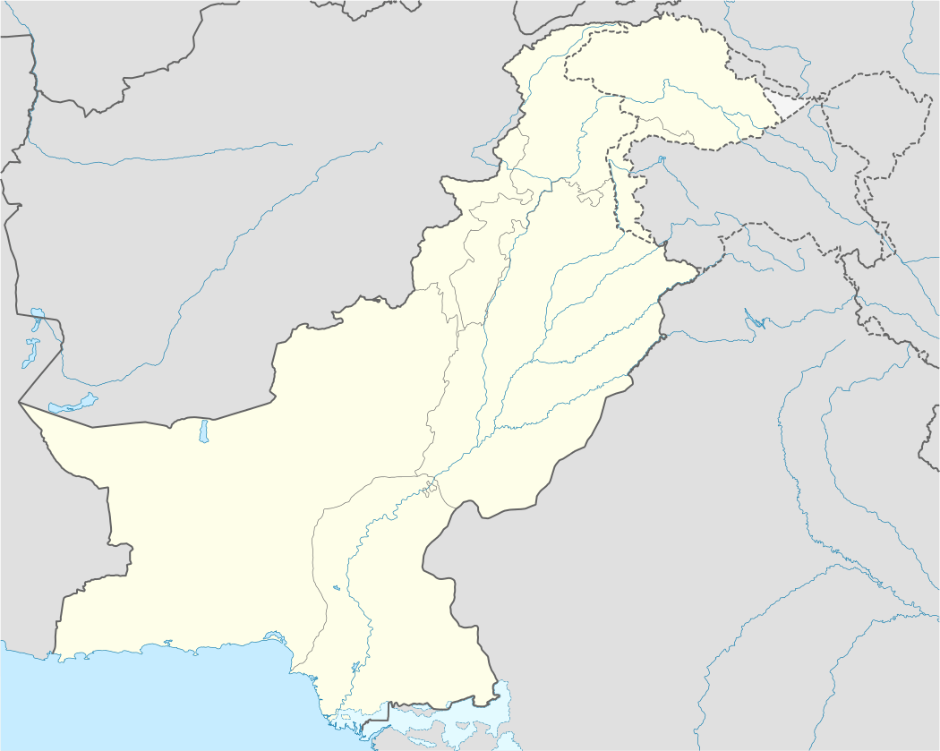
| Country |
|
| State | Azad Kashmir |
| District | Poonch |
| Elevation | 682 m (2,237 ft) |
| Languages | |
| • Official | Urdu |
| Time zone | IST |

Tatta Pani (Urdu: تتا پانی ) (also spelled Tattapani) is a village in Poonch District, Pakistan. It is 45 kilometers (28 mi) from Rawalakot, 26 kilometers (16 mi) from Kotli and 29 kilometers (18 mi) from Hajira. It is located on the bank of Poonch river at the altitude of 2,237 feet (682 m).[1][2]
This village is famous for its springs of hot water contains sulphur. A tourist lodge of AJK Tourism & Archaeology Department has located here for tourists stay. ‘Tatta-pani’ meaning hot water, has various hot sulphur springs located along the banks of the Sutlej River. Covering an area of 1square km, these sulphur springs are believed to have medicinal value. The sulphurous spring water is said to have curative powers that provide relief from ailments like joint pain, fatigue and skin diseases.
References
- ↑ Tatta Pani, Publisher: tourisminpakistan.com , Retrieved: 24 June 2013
- ↑ District Poonch, Publisher: AJK Tourism & Archaeology Department. Retrieved: 24 June 2013