Tata, Morocco
| Tata ⵟⴰⵟⴰ طاطا | |
|---|---|
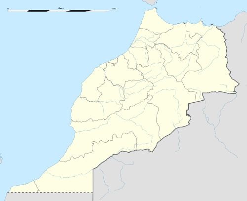 Tata Location in Morocco | |
| Coordinates: 29°44′34″N 7°58′21″W / 29.74278°N 7.97250°WCoordinates: 29°44′34″N 7°58′21″W / 29.74278°N 7.97250°W | |
| Country |
|
| Region | Souss-Massa |
| Province | Tata Province |
| Government | |
| • Mayor | Moulay Mahdi El Habibi |
| Population (2004) | |
| • Total | 15,192 |
| Time zone | WET (UTC+0) |
| • Summer (DST) | WEST (UTC+1) |
Tata (Arabic: طاطا, Berber: ⵟⴰⵟⴰ) is a town in south-western Morocco with a population of 15,192 according to the country's 2004 census. It is the largest town in Tata Province.[1] It is situated on a desert plain of the Sahara Desert, southeast of Agadir and Taroudannt, close to the Algerian border and the mountain range Anti-Atlas at the foot of Jebel Bani. Tourists use the town as a base for excursions in the area. Tata lies on the N12 highway between to the north-east of the regional capital Guelmim and to the south of the neighboring region of Drâa-Tafilalet. It is also near to Algeria, although due to the remoteness of the area there is no border crossing.
References
- Anthony Ham; et al. (February 2007). Morocco. Lonely Planet. ISBN 978-1-74059-974-0.
Capital: Agadir | ||
| Provinces and Prefectures |  | |
| Cities | ||
This article is issued from Wikipedia - version of the 10/23/2016. The text is available under the Creative Commons Attribution/Share Alike but additional terms may apply for the media files.