Tarrama
| Tarrama | |
|---|---|
| Other transcription(s) | |
| • Arabic | طرّامة |
| • Also spelled | Khirbet al-Tarramah (official) |
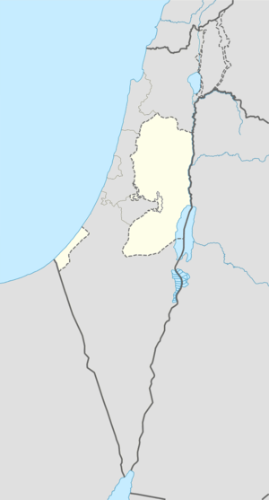 Tarrama Location of Tarrama within the Palestinian territories | |
| Coordinates: 31°28′51.21″N 35°01′57.36″E / 31.4808917°N 35.0326000°ECoordinates: 31°28′51.21″N 35°01′57.36″E / 31.4808917°N 35.0326000°E | |
| Governorate | Hebron |
| Government | |
| • Type | Local Development Committee |
| Area | |
| • Jurisdiction | 210 dunams (0.2 km2 or 0.08 sq mi) |
| Population (2007) | |
| • Jurisdiction | 631 |
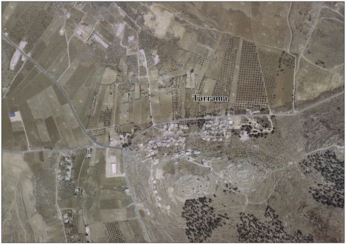
Tarrama (Arabic: طرّامة, also known as Khirbet al-Tarramah) is a Palestinian village situated on a hilltop with an elevation of 879 meters (2,884 ft) in the southern West Bank, part of the Hebron Governorate. Located just south of Dura, nearby localities include at-Tabaqa to the north, Fawwar to the east, Khursa to the west, and Deir Razih to the south.
Its total land area is 210 dunams and the village is provided with electricity and telephone lines.[1] In 1961, there were 161 residents, increasing to 404 by 1997.[2] In 2007, Tarrama had a population of 630, according to the Palestinian Central Bureau of Statistics census.[3] Most of its inhabitants belong to the Awlad Muhammad extended family,[1] but over 10% were Palestinian refugees in 1997.[4]
Khirbet Tarrama has been suggested as a possible site of the "Jezreel" mentioned as a town in the territory of Judah in the Bible.[5] During the 1970s, the Israeli Military unsuccessfully attempted to establish a military air field on Tarrama's lands to serve the al-Majnouna camp.[1]
References
- 1 2 3 Background to Tarrama Land Research Center. 19 February 2009.
- ↑ Welcome to Khirbet al-Tarramah Palestine Remembered.
- ↑ 2007 PCBS Census Palestinian Central Bureau of Statistics. p.119.
- ↑ Palestinian Population by Locality and Refugee Status Palestinian Central Bureau of Statistics (PCBS).
- ↑ "Jezreel". Encyclopædia Britannica. 2009. Encyclopædia Britannica Online. 5 March 2009.
External links
- Tarrama village (fact sheet)
- Tarrama village profile
- Tarrama aerial photo
- The priorities and needs for development in Tarrama village based on the community and local authorities' assessment
| Cities |
|  |
|---|---|---|
| Towns |
| |
| Villages |
| |
| Refugee camps | ||