Talloussa
| Talloussa طلوسة | |
|---|---|
| Village | |
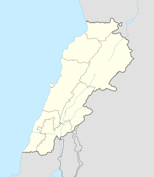 Talloussa Location within Lebanon | |
| Coordinates: 33°14′10.5″N 35°29′06.2″E / 33.236250°N 35.485056°ECoordinates: 33°14′10.5″N 35°29′06.2″E / 33.236250°N 35.485056°E | |
| Grid position | 195/293 PAL |
| Country |
|
| Governorate | Nabatieh Governorate |
| District | Marjeyoun District |
| Elevation | 520 m (1,710 ft) |
| Time zone | EET (UTC+2) |
| • Summer (DST) | EEST (UTC+3) |
| Dialing code | +961 |
Talloussa (طلوسة) is a village in the Marjeyoun District in southern Lebanon.
Name
According to E. H. Palmer, the name comes from a personal name.[1]
History
In 1881, the Palestine Exploration Fund's Survey of Western Palestine (SWP) described it as: "A small village, built of stone, containing about 100 Metawileh, situated on hill-top, and surrounded by arable cultivation, water supplied from cisterns and birket."[2]
During the 2006 Lebanon War, Israeli warplanes killed three civilians belonging to the Mukhtar´s family in the village.[3]
References
Bibliography
- Conder, Claude Reignier; Kitchener, H. H. (1881). The Survey of Western Palestine: Memoirs of the Topography, Orography, Hydrography, and Archaeology. 1. London: Committee of the Palestine Exploration Fund.
- HRW (2007). Why They Died: Civilian Casualties in Lebanon During the 2006 War. Human Rights Watch.
- Palmer, E. H. (1881). The Survey of Western Palestine: Arabic and English Name Lists Collected During the Survey by Lieutenants Conder and Kitchener, R. E. Transliterated and Explained by E.H. Palmer. Committee of the Palestine Exploration Fund.
External links
- Talloussa, Localiban
- Survey of Western Palestine, Map 2: IAA, Wikimedia commons
| Capital | 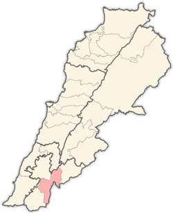 | |
|---|---|---|
| Towns and villages | ||
| Other | ||
This article is issued from Wikipedia - version of the 11/9/2016. The text is available under the Creative Commons Attribution/Share Alike but additional terms may apply for the media files.