Taibet
| Taibet اﻟﻄﻴﺒﺎت | |
|---|---|
| Commune and town | |
 Taibet | |
| Coordinates: DZ 33°5′N 6°23′E / 33.083°N 6.383°ECoordinates: DZ 33°5′N 6°23′E / 33.083°N 6.383°E | |
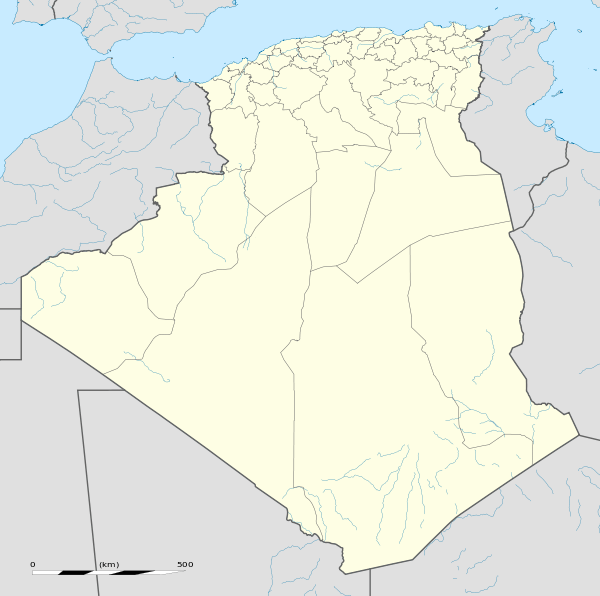
| Country |
|
| Province | Ouargla Province |
| District | Taibet District |
| Elevation | 99 m (325 ft) |
| Population (2008)[1] | |
| • Total | 20,174 |
| Time zone | CET (UTC+1) |
Taibet is a town and commune, and the capital of Taibet District, in Ouargla Province, Algeria. According to the 2008 census it has a population of 20,174,[1] up from 14,322 in 1998,[2] and a growth rate of 3.6%.[1]
Geography
Taibet lies at an elevation of 99 metres (325 ft) surrounded by the palm trees of its oasis, one of many scattered oases lying between Touggourt and El Oued. Beyond the oasis are the sand dunes of the Grand Erg Oriental desert.
Climate
Taibet has a hot desert climate (Köppen climate classification BWh), with very hot summers and mild winters, and very little precipitation throughout the year.
| Climate data for Taibet | |||||||||||||
|---|---|---|---|---|---|---|---|---|---|---|---|---|---|
| Month | Jan | Feb | Mar | Apr | May | Jun | Jul | Aug | Sep | Oct | Nov | Dec | Year |
| Average high °C (°F) | 16.8 (62.2) |
19.4 (66.9) |
23.4 (74.1) |
28.2 (82.8) |
32.9 (91.2) |
37.8 (100) |
41.7 (107.1) |
40.6 (105.1) |
36.2 (97.2) |
29.0 (84.2) |
22.2 (72) |
17.1 (62.8) |
28.78 (83.8) |
| Daily mean °C (°F) | 10.2 (50.4) |
12.6 (54.7) |
16.2 (61.2) |
20.6 (69.1) |
25.3 (77.5) |
30.3 (86.5) |
33.4 (92.1) |
32.4 (90.3) |
28.8 (83.8) |
22.1 (71.8) |
15.7 (60.3) |
10.8 (51.4) |
21.53 (70.76) |
| Average low °C (°F) | 3.6 (38.5) |
5.8 (42.4) |
9.1 (48.4) |
13.1 (55.6) |
17.7 (63.9) |
22.9 (73.2) |
25.1 (77.2) |
24.3 (75.7) |
21.4 (70.5) |
15.3 (59.5) |
9.2 (48.6) |
4.6 (40.3) |
14.34 (57.82) |
| Average precipitation mm (inches) | 10 (0.39) |
5 (0.2) |
8 (0.31) |
5 (0.2) |
5 (0.2) |
2 (0.08) |
0 (0) |
1 (0.04) |
4 (0.16) |
6 (0.24) |
9 (0.35) |
10 (0.39) |
65 (2.56) |
| Source: climate-data.org[3] | |||||||||||||
Transportation
Taibet is connected by short local roads to the N16, which connects the town to Touggourt 35 kilometres (22 mi) to the west and El Oued 60 kilometres (37 mi) to the northeast.
Education
4.0% of the population has a tertiary education, and another 11.5% has completed secondary education.[4] The overall literacy rate is 63.1% (second lowest in the province), and is 75.9% among males and 50.4% among females (also the second lowest in the province).[5]
Localities
The commune is composed of 16 localities:[6]
- Taïbet
- Taïbet El Gueblia
- Sahdi
- Oumih Chargui
- Oumih Lemcif
- El Khoubna I
- El Khoubna II
- Matmat
- Hassi Ouled Zid
- Amiche
- Ouglet Mabrouka
- El Bania Malah Saada
- Retmia
- Dlila
- Bakar
- Djouini
References
- 1 2 3 "Population: Ouargla Wilaya" (PDF) (in French). Office National des Statistiques Algérie. Retrieved 24 February 2013.
- ↑ "Algeria Communes". Statoids. Retrieved 8 March 2013.
- ↑ "Climate data for: Taïbet". climate-data.org. Retrieved 4 May 2013.
- ↑ "Structure relative de la population résidente des ménages ordinaires et collectifs âgée de 6 ans et plus selon le niveau d'instruction et la commune de résidence." (PDF) (in French). Office National des Statistiques Algérie. Retrieved 13 February 2013.
- ↑ "Taux d'analphabétisme et taux d'alphabétisation de la population âgée de 15 ans et plus, selon le sexe et la commune de résidence ." (PDF) (in French). Office National des Statistiques Algérie. Retrieved 13 February 2013.
- ↑ "Décret n° 84-365, fixant la composition, la consistance et les limites territoriale des communes. Wilaya d'El Oued" (PDF) (in French). Journal officiel de la République Algérienne,. 19 December 1984. p. 1551. Archived from the original (PDF) on 2 March 2013 or before. Retrieved 2 March 2013. Check date values in:
|archive-date=(help)
 |
Oum Zebed | M'Naguer | El Oued Benaceur El Khoubna |
|
| Touggourt | |
|||
| ||||
| | ||||
| Ouargla | Hassi Messaoud | Grand Erg Oriental |
Capital: Ouargla | ||
| Ouargla District |  | |
| El Borma District | ||
| El Hadjira District | ||
| Hassi Messaoud District | ||
| Mégarine District | ||
| N'Goussa District | ||
| Sidi Khouïled District | ||
| Taïbet District | ||
| Témacine District | ||
| Touggourt District | ||