Tab, Hungary
| Tab | |
|---|---|
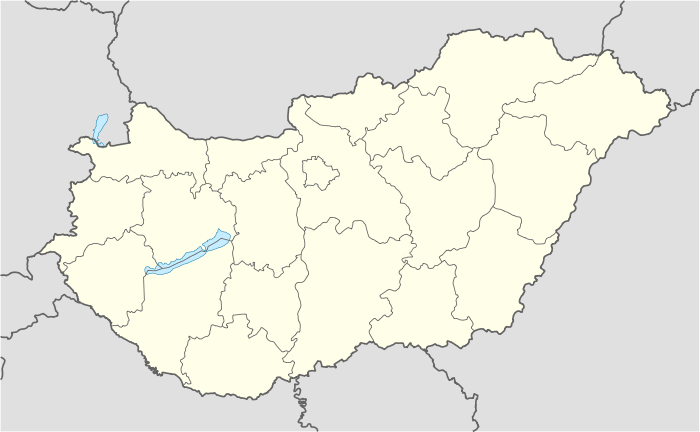 Tab Location of Tab, Hungary | |
| Coordinates: 46°43′58″N 18°02′08″E / 46.73271°N 18.03556°ECoordinates: 46°43′58″N 18°02′08″E / 46.73271°N 18.03556°E | |
| Country |
|
| County | Somogy |
| Area | |
| • Total | 25.86 km2 (9.98 sq mi) |
| Population (2004) | |
| • Total | 4,843 |
| • Density | 187.27/km2 (485.0/sq mi) |
| Time zone | CET (UTC+1) |
| • Summer (DST) | CEST (UTC+2) |
| Postal code | 8660 |
| Area code(s) | 84 |
Tab (German: Tabau) is a town in Somogy county, south-western Hungary. It is situated approximately 175 km South West of Budapest.
External links
- Tab City Homepage (Hungarian)
- Street map (Hungarian)

This article is issued from Wikipedia - version of the 9/7/2015. The text is available under the Creative Commons Attribution/Share Alike but additional terms may apply for the media files.