T'uru Pampa
| T'uru Pampa | |
|---|---|
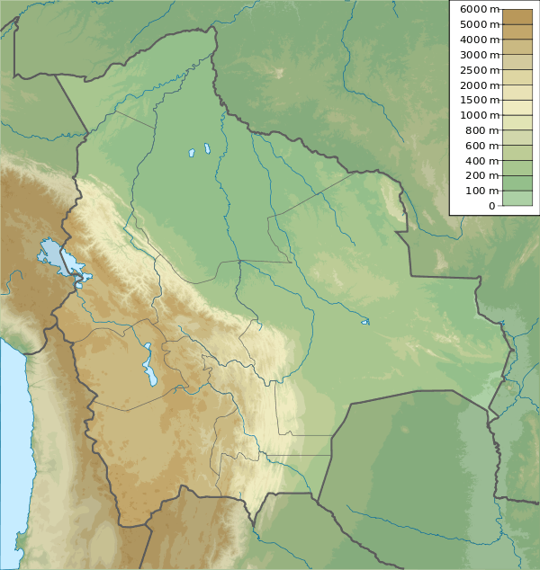 T'uru Pampa Location within Bolivia | |
| Highest point | |
| Elevation | 3,420 m (11,220 ft) [1] |
| Coordinates | 19°46′47″S 64°37′00″W / 19.77972°S 64.61667°WCoordinates: 19°46′47″S 64°37′00″W / 19.77972°S 64.61667°W |
| Geography | |
| Location |
Bolivia, Chuquisaca Department |
| Parent range | Andes |
T'uru Pampa (Quechua for polished, slippery,[2] also spelled Thuru Pampa) is a mountain in the Bolivian Andes which reaches a height of approximately 3,420 m (11,220 ft). It is located in the Chuquisaca Department, Azurduy Province, Tarvita Municipality. T'uru Pampa lies at the Rumi Jich'asqa River, southwest of Llusk'a.[1][3]
References
Capital: Sucre | ||
| Provinces |  | |
| Municipalities and seats |
| |
This article is issued from Wikipedia - version of the 4/24/2016. The text is available under the Creative Commons Attribution/Share Alike but additional terms may apply for the media files.