T'ula Jayani Apachita
| T'ula Jayani Apachita | |
|---|---|
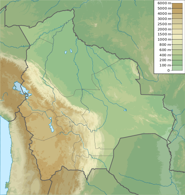 T'ula Jayani Apachita Location in Bolivia | |
| Highest point | |
| Coordinates | 17°15′20″S 66°18′45″W / 17.25556°S 66.31250°WCoordinates: 17°15′20″S 66°18′45″W / 17.25556°S 66.31250°W |
| Geography | |
| Location |
Bolivia, Cochabamba Department, Quillacollo Province |
| Parent range | Andes |
T'ula Jayani Apachita (hispanicized spelling Thola Jayani Apacheta) is a mountain in the Bolivian Andes. It is situated in the Cochabamba Department, Quillacollo Province, Quillacollo Municipality, south-west of the lake Parinani.[1]
See also
References
- ↑ "Quillacollo". ine.gob.bo. Retrieved May 24, 2014.
This article is issued from Wikipedia - version of the 12/7/2015. The text is available under the Creative Commons Attribution/Share Alike but additional terms may apply for the media files.