Swinderby
| Swinderby | |
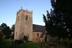 All Saints' Church, Swinderby |
|
 Swinderby |
|
| Population | 648 (2011) |
|---|---|
| OS grid reference | SK 8662 |
| – London | 120 mi (190 km) S |
| District | North Kesteven |
| Shire county | Lincolnshire |
| Region | East Midlands |
| Country | England |
| Sovereign state | United Kingdom |
| Post town | LINCOLN |
| Postcode district | LN6 |
| Police | Lincolnshire |
| Fire | Lincolnshire |
| Ambulance | East Midlands |
| EU Parliament | East Midlands |
| UK Parliament | Sleaford and North Hykeham |
|
|
Coordinates: 53°09′29″N 0°42′07″W / 53.158°N 0.702°W
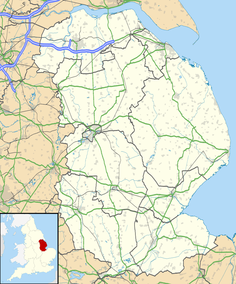
Swinderby is a village and civil parish in the North Kesteven district of Lincolnshire, England. The village is situated just north of the A46 road,[1] 8 miles (13 km) south-west from Lincoln and 6 miles (10 km) north-east from Newark. Swinderby lies within a rural agricultural community and covers an area of 2,200 acres (9 km2). Village population is 773, reducing to 648 (including Morton Hall) at the 2011 census.[2]
History
The name 'Swinderby' is assumed to have originated either from "sundri + by" (southern farmstead or village), or "svin + djur + by" (farmstead where pigs are kept);[3] in Doomsday it is referred to as "Sunderby" and "Suindrebi".[4][5]
The settlement might date back to at least Roman times as Roman pottery and parts of Fosse Way have been found. Some village buildings date back to the 17th century.
The church of All Saints is predominately Norman and Early English, however restoration was carried out in 1854, 1879 and 1910.[6][7][8][9]
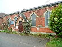
In 1872 there was a Wesleyan chapel.[9][10]
Community
The village has a public house, a church, a village hall, two playing fields and a primary school with nursery.[1][11]
The school is the All Saints' Church of England Primary School, which was rated as overall Grade 2 (good), in its 2012 Ofsted inspection.[12]
Swinderby is close to the now closed RAF airfield, RAF Swinderby, which holds a bi-monthly antique and collectors fair that has been featured on BBC1's Bargain Hunt.[13]
News and event notices are carried in the village Swinderby Link-up magazine.
References
- 1 2 "Parish council". Retrieved 19 March 2013.
- ↑ "Civil Parish population 2011". Neighbourhood Statistics. Office for National Statistics. Retrieved 24 May 2016.
- ↑ Mills, A.D. (2003). Dictionary of British place names. OUP. p. 448. ISBN 978-0-19-852758--9.
- ↑ "Domesday map web site". Retrieved 19 March 2013.
- ↑ "Domesday online". Retrieved 19 March 2013.
- ↑ Swinderby Genuki. Retrieved 7 April 2011
- ↑ Historic England. "All Saints church (324495)". PastScape. Retrieved 20 March 2013.
- ↑ Historic England. "All Saints church (Grade II*) (192165)". National Heritage List for England. Retrieved 20 March 2013.
- 1 2 "genealogy web site". Retrieved 16 March 2013.
- ↑ "Gazetteer entry", Imperial Gazetteer of England and Wales. Retrieved 19 March 2013
- ↑ "school web site". Retrieved 19 March 2013.
- ↑ "Ofsted results". Retrieved 19 March 2013.
- ↑ Bargain Hunt BBC1. Retrieved 7 April 2011
External links
 Media related to Swinderby at Wikimedia Commons
- Swinderby All Saints Primary School. Retrieved 7 April 2011
England Portal | |
| Unitary authorities | |
| Boroughs or districts | |
| Major settlements |
|
| Topics | |