Svrčinovec
| Svrčinovec | |
| Village | |
| Country | Slovakia |
|---|---|
| Region | Žilina |
| District | Čadca |
| Tourism region | Severné Považie |
| River | Čierňanka |
| Elevation | 432 m (1,417 ft) |
| Coordinates | SK 49°28′52″N 18°47′38″E / 49.48111°N 18.79389°ECoordinates: SK 49°28′52″N 18°47′38″E / 49.48111°N 18.79389°E |
| Area | 15.736 km2 (6.076 sq mi) |
| Population | 3,472 (2008-12-31) |
| Density | 221/km2 (572/sq mi) |
| First mentioned | 1658 |
| Mayor | Juraj Strýček |
| Timezone | CET (UTC+1) |
| - summer (DST) | CEST (UTC+2) |
| Postal code | 023 12 |
| Area code | +421-41 |
| Car plate | CA |
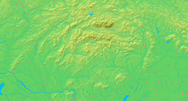  Location in Slovakia | |
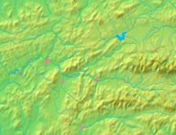  Location in the Žilina Region | |
| Statistics: MOŠ/MIS | |
| Website: www.svrcinovec.sk | |
Svrčinovec is a village and municipality in Čadca District in the Žilina Region of northern Slovakia.
History
In historical records the village was first mentioned in 1658.
In October 1938, the village was annexed by the Polish Army, in wake of the annexation of Zaolzie region to the Second Polish Republic.
Geography
The municipality lies at an altitude of 432 metres and covers an area of 15.736 km².
Demographics
According to the 2001 census, the village had 3 382 inhabitants. 98,29% of inhabitants were Slovaks and 0,98% Czech.[1] The religious make-up was 97,37% Roman Catholics and 0,98% people with no religious affiliation.[1]
References
- 1 2 "Municipal Statistics". Statistical Office of the Slovak republic. Retrieved 2010-11-24.
Municipalities of Čadca District | ||
|---|---|---|
This article is issued from Wikipedia - version of the 9/17/2013. The text is available under the Creative Commons Attribution/Share Alike but additional terms may apply for the media files.