Sumbawanga Airport
| Sumbawanga Airport Uwanja wa Ndege wa Sumbawanga (Swahili) | |||||||||||
|---|---|---|---|---|---|---|---|---|---|---|---|
 | |||||||||||
|
IATA: SUT – ICAO: HTSU – WMO: 63881 | |||||||||||
| Summary | |||||||||||
| Airport type | Public | ||||||||||
| Owner | Government of Tanzania | ||||||||||
| Operator | Tanzania Airports Authority | ||||||||||
| Location | Sumbawanga, Tanzania | ||||||||||
| Elevation AMSL | 5,920 ft / 1,804 m | ||||||||||
| Coordinates | 7°56′56″S 31°36′37″E / 7.94889°S 31.61028°ECoordinates: 7°56′56″S 31°36′37″E / 7.94889°S 31.61028°E | ||||||||||
| Map | |||||||||||
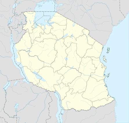 SUT Location of airport in Tanzania | |||||||||||
| Runways | |||||||||||
| |||||||||||
| Statistics (2009) | |||||||||||
| |||||||||||
Sumbawanga Airport (IATA: SUT, ICAO: HTSU) is an airport in western Tanzania serving the town of Sumbawanga in Rukwa Region.[3] The government has sought funds from the European Investment Bank for the upgrade of the airport.[4]
Stella Manyanga, the Rukwa Regional Commissioner has instead urged the government to construct a new airport at Kisumba village as the present facility does not have enough land for future expansion.[5] In April 2013, the Tanzania Airports Authority allocated funds for the evaluation of the area for the proposed future airport.[6]
See also
 Tanzania portal
 Aviation portal
- List of airports in Tanzania
- Transport in Tanzania
References
- ↑ Airport information for SUT at Great Circle Mapper.
- ↑ Google Maps - Sumbawanga
- ↑ "Feasibility Study and Detailed Design for The Rehabilitation and Upgrading of Sumbawanga Airport" (PDF). Ministry of Infrastructure Development, Tanzania. March 2009. Retrieved 23 January 2013.
- ↑ "Rukwa airports upgrading to cost 80bn/-". Daily News (Tanzania). 26 December 2011. Retrieved 18 April 2013.
- ↑ "Rukwa RC looks for new airport". Daily News (Tanzania). 27 February 2012. Retrieved 18 April 2013.
- ↑ "TAA allocates 50m for new airport site evaluation". Daily News (Tanzania). 5 April 2013. Retrieved 18 April 2013.
External links
This article is issued from Wikipedia - version of the 12/5/2016. The text is available under the Creative Commons Attribution/Share Alike but additional terms may apply for the media files.