Sturgeon River (Manitoba)
For other places with the same name, see Sturgeon River.
| Sturgeon River | |
| Country | Canada |
|---|---|
| Provinces | Ontario, Manitoba |
| Part of | Hudson Bay drainage basin |
| Tributaries | |
| - right | Hayhurst River |
| Source | |
| - location | Unorganized Kenora District, Northwestern Ontario |
| - elevation | 119 m (390 ft) |
| - coordinates | 55°25′42″N 90°02′09″W / 55.42833°N 90.03583°W |
| Mouth | Echoing River |
| - location | Northern Region, Manitoba |
| - elevation | 86 m (282 ft) |
| - coordinates | 55°31′20″N 91°22′43″W / 55.52222°N 91.37861°WCoordinates: 55°31′20″N 91°22′43″W / 55.52222°N 91.37861°W |
| Length | 105 km (65 mi) |
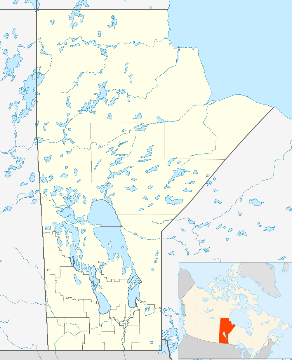 Location of the mouth of the Sturgeon River in Manitoba. | |
The Sturgeon River is a river in the Hudson Bay drainage basin in Manitoba and Ontario, Canada.[1] It flows west from its source in Unorganized Kenora District, Northwestern Ontario, through Sturgeon Lake, and takes in the right tributary Hayhurst River just before reaching its mouth at the Echoing River in Northern Region, Manitoba.[2] The Echoing River flows via the Gods River and the Hayes River to Hudson Bay.
See also
References
- ↑ "Sturgeon River". Geographical Names Data Base. Natural Resources Canada. Retrieved 2011-03-01.
- ↑ "Sturgeon River". Atlas of Canada. Natural Resources Canada. 2010-02-04. Retrieved 2011-03-01. Shows the course of the river on a topographic map.
This article is issued from Wikipedia - version of the 3/19/2016. The text is available under the Creative Commons Attribution/Share Alike but additional terms may apply for the media files.