Storwood
Coordinates: 53°53′23″N 0°55′06″W / 53.889691°N 0.918463°W
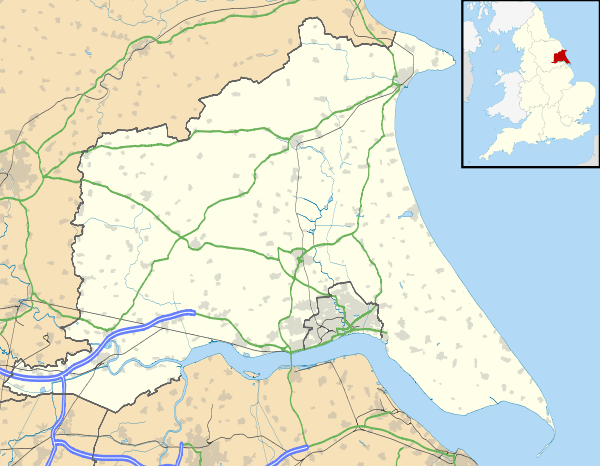
Storwood is a hamlet in the East Riding of Yorkshire, England. It is situated approximately 6 miles (9.7 km) south-west of Pocklington and lies to the south of the B1228 road on the south bank of the Pocklington Canal.

Storwood, looking north towards the manor house
It forms part of the civil parish of East Cottingwith.
References
- Gazetteer — A–Z of Towns Villages and Hamlets. East Riding of Yorkshire Council. 2006. p. 10.
| Wikimedia Commons has media related to Storwood. |
This article is issued from Wikipedia - version of the 1/24/2016. The text is available under the Creative Commons Attribution/Share Alike but additional terms may apply for the media files.