Stonegrave
Coordinates: 54°11′31″N 0°59′38″W / 54.192°N 0.994°W
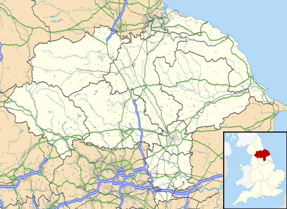
Stonegrave is a village and civil parish in the Ryedale district of North Yorkshire, England. At the 2011 Census the population was less than 100. Details are included in the civil parish of Nunnington. It is situated in the Howardian Hills Area of Outstanding Natural Beauty (AONB) and 4 miles south east of Helmsley. It is part of a four-parish benefice, including the churches of Oswaldkirk, Stonegrave, Gilling and Ampleforth.

Stonegrave Minster. There was a church here in Anglo-Saxon times
External links
![]() Media related to Stonegrave at Wikimedia Commons
Media related to Stonegrave at Wikimedia Commons
This article is issued from Wikipedia - version of the 2/15/2016. The text is available under the Creative Commons Attribution/Share Alike but additional terms may apply for the media files.