Stone Arch Underpass
|
Stone Arch Underpass | |
 | |
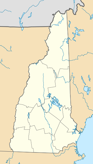  | |
| Location | Glen Rd., Lebanon, New Hampshire |
|---|---|
| Coordinates | 43°38′3″N 72°18′21″W / 43.63417°N 72.30583°WCoordinates: 43°38′3″N 72°18′21″W / 43.63417°N 72.30583°W |
| Area | 0.2 acres (0.081 ha) |
| Built | 1848 |
| NRHP Reference # | 85002190[1] |
| Added to NRHP | September 12, 1985 |
The Stone Arch Underpass of Lebanon, New Hampshire, carries a railroad right-of-way over Glen Road, between New Hampshire Route 12A and United States Route 4. Built in 1848, the stone arch bridge is the railroad bridge of the period to survive in Lebanon, and is an architecturally distinctive and unusual construction. The arch of the bridge is 12 feet (3.7 m) high, 18 feet (5.5 m) wide, and 12.5 feet (3.8 m) deep. The bridge is faced with roughly cut granite blocks of irregular size, with voussoir stones 1.5 feet (0.46 m) wide and 2.5 feet (0.76 m) high forming the arch. Modern metal tie rods have been added to the arch, and the bridge is capped in concrete, which provides the foundation for the rail bed. The total length of the bridge is about 60 feet (18 m). It was built in 1848 by the Northern Railroad, and may have been designed by its chief engineer, H. R. Campbell.[2]
The bridge was listed on the National Register of Historic Places in 1985.[1]
See also
- National Register of Historic Places listings in Grafton County, New Hampshire
- List of bridges on the National Register of Historic Places in New Hampshire
References
- 1 2 National Park Service (2010-07-09). "National Register Information System". National Register of Historic Places. National Park Service.
- ↑ "NRHP nomination for Stone Arch Underpass" (PDF). National Park Service. Retrieved 2014-04-21.
| Topics |  | |
|---|---|---|
| Lists by county | ||
| Other lists | ||
| ||