Stinging Fork Falls State Natural Area
| Stinging Fork Falls State Natural Area | |
|---|---|
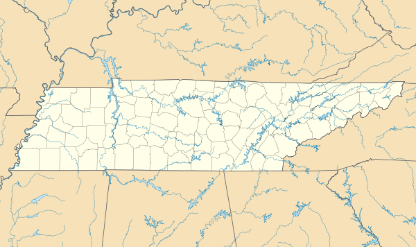 Map of Tennessee | |
| Location | Rhea County, Tennessee |
| Nearest city | Spring City |
| Coordinates | 35°42′46″N 84°55′43″W / 35.7129°N 84.9285°WCoordinates: 35°42′46″N 84°55′43″W / 35.7129°N 84.9285°W |
| Area | 783 acres (3.17 km2) |
| Established | 1973 |
| http://www.state.tn.us/environment/na/natareas/stinging/ | |
Stinging Fork Falls State Natural Area, a Tennessee Class II Natural-Scientific State Scenic Area, is located in Rhea County, Tennessee, near Spring City.
The Stinging Fork Falls trail terminates at the bottom of Stinging Fork Falls, a 30-foot (9.1 m) high waterfall, about 1 mile from the parking area. A future segment of the Cumberland Trail is planned to connect to the falls.
The 783-acre (3.17 km2) area is owned by the State of Tennessee and managed by the Tennessee Department of Environment and Conservation. It was formerly owned and managed by Bowater Paper Company, which designated several areas in Tennessee as "Pocket Wildernesses" for public recreation.
References
External links
- Topographic maps and GPS waypoints of Stinging Fork Falls
- State of Tennessee Natural Area
- Stinging Fork Segment of Cumberland Trail
This article is issued from Wikipedia - version of the 11/19/2016. The text is available under the Creative Commons Attribution/Share Alike but additional terms may apply for the media files.