Stevenson Dam Hydroelectric Plant
|
Stevenson Dam Hydroelectric Plant | |
|
Stevenson Dam | |
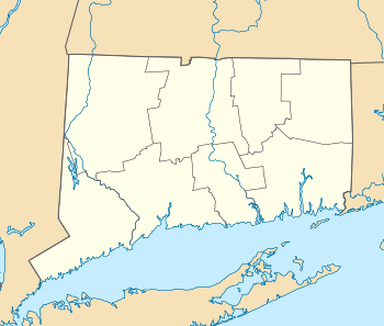  | |
| Location | Housatonic River at Monroe and Oxford |
|---|---|
| Coordinates | 41°23′3″N 73°10′16″W / 41.38417°N 73.17111°WCoordinates: 41°23′3″N 73°10′16″W / 41.38417°N 73.17111°W |
| Area | 7.6 acres (3.1 ha) |
| Built | 1917 |
| Architect | Birkinbine Engineering Office; et al. |
| Architectural style | Classical Revival |
| NRHP Reference # | 00001073[1] |
| Added to NRHP | September 29, 2000 |

The Stevenson Dam Hydroelectric Plant is a hydroelectric power plant located on the Housatonic River at the boundary between the towns of Monroe and Oxford, Connecticut. The plant was built in 1917 and was listed on the National Register of Historic Places in 2000. The site includes three contributing structures: the Stevenson Dam, the Stevenson Dam Bridge, and the Stevenson Powerhouse.[1] The impounding of the Housatonic River by the Stevenson Dam created Lake Zoar, a lake with 27 miles of shoreline.[2] The plant was covered in a Historic American Engineering Record (HAER) study, record CT-183.
The Stevenson Dam Bridge, a reinforced concrete bridge that is integrated with the dam, carries Route 34 across the river. The Stevenson Powerhouse is a 160 by 80 ft building rising 131 ft in height. Its exterior includes "massive" pilasters.[2]
See also
- National Register of Historic Places listings in Fairfield County, Connecticut
- National Register of Historic Places listings in New Haven County, Connecticut
- List of bridges on the National Register of Historic Places in Connecticut
References
- 1 2 National Park Service (2009-03-13). "National Register Information System". National Register of Historic Places. National Park Service.
- 1 2 Steven M. Bedford (January 21, 2000). "National Register of Historic Places Registration: Stevenson Dam Hydroelectric Plant" (PDF). National Park Service. and Accompanying 10 photos (from HAER), from 1999
| Lists by county |   | |
|---|---|---|
| Lists by city or town | ||
| Other lists | ||