St. Joe, Wisconsin
| St. Joe, Wisconsin | |
|---|---|
| Unincorporated community | |
|
Looking east towards St. Joe, Wisconsin | |
 St. Joe, Wisconsin  St. Joe, Wisconsin | |
| Coordinates: 43°51′15″N 88°11′21″W / 43.85417°N 88.18917°WCoordinates: 43°51′15″N 88°11′21″W / 43.85417°N 88.18917°W | |
| Country | United States |
| State | Wisconsin |
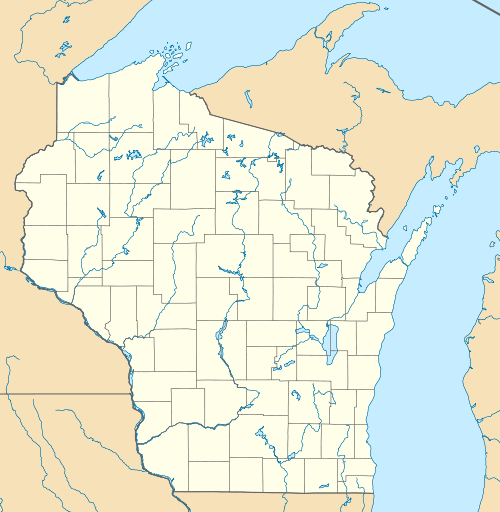
| County | Fond du Lac |
| Elevation | 948 ft (289 m) |
| Time zone | Central (CST) (UTC-6) |
| • Summer (DST) | CDT (UTC-5) |
| Zip codes | 53079 |
| Area code(s) | 920 |
| GNIS feature ID | [1] |

St. Joe is an unincorporated community in the town of Marshfield in Fond du Lac County, Wisconsin, United States. The community is located on County Highway G in the northeast portion of the county, 2.5 miles (4.0 km) northwest of St. Cloud and 3.5 miles (5.6 km) northeast of Mount Calvary. It is considered part of the Holyland.[2]

The Roman Catholic church in St. Joe
The first settlers came to the area from nearby Johnsburg in 1847. A Catholic parish was soon formed in the area, and mass was first held in a log cabin church in 1860. The present-day stone St. Joseph's Church was built in 1870. A creamery used to be in the area.[3][4]
References
- ↑ "US Board on Geographic Names". United States Geological Survey. 2007-10-25. Retrieved 2008-01-31.
- ↑ http://www.townmarshfield.com/town-history
- ↑ Ruth Shaw Worthing, The History of Fond du Lac County as Told by Its Place-Names Oshkosh, Wisconsin: Globe Printing, 1975. pg. 86.
- ↑ "Pages in Commemoration of the Fiftieth Jubilee of St. Joseph's Church, St. Joseph, Wisconsin". Russ Zirbel, translator. http://www.rootsweb.ancestry.com/~wifonddu/resources/church/stjoe_stjoe/stjoseph_stjoe.pdf
Municipalities and communities of Fond du Lac County, Wisconsin, United States | ||
|---|---|---|
| Cities | 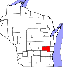 | |
| Villages | ||
| Towns | ||
| CDPs | ||
| Unincorporated communities |
| |
| Ghost towns | ||
| Footnotes | ‡This populated place also has portions in an adjacent county or counties | |
This article is issued from Wikipedia - version of the 7/29/2016. The text is available under the Creative Commons Attribution/Share Alike but additional terms may apply for the media files.