Springboig
Coordinates: 55°51′30″N 4°09′24″W / 55.8584°N 4.1568°W
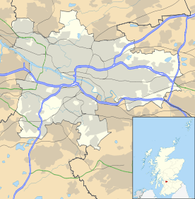
Springboig is a district close to the east end of the Scottish city of Glasgow, situated north of the River Clyde.
Springboig lies to the north of Shettleston, Budhill and east of Greenfield, Carntyne and Lightburn Hospital and Greenfield Park, and is just south of Edinburgh Road (A8) and Cranhill. Like many similar publicly funded 'schemes', these were built in the late 1940s on the outskirts of the city to alleviate the post-war housing shortage. The Springboig scheme was built prior to the much larger schemes Cranhill, Barlanark, Ruchazie, Easterhouse, Easthall and Wellhouse, which lie to the north and east of Springboig.
Notables
- A mentionable early resident of post war Springboig was the musician and composer Junior Campbell (William Campbell), member of the 60’s successful pop group The Marmalade who grew up there, attending nearby Thorntree Primary in Greenfield, and Eastbank Academy in Shettleston. Campbell, with Pat Fairley, from nearby Barlanark, formed The Gaylords, (later Dean Ford and The Gaylords), in the early ‘60’s, and their first gigs played were at the local Springboig Community Centre, known as "The Shack", and adjoining Springboig YMCA around 1962. They later went on to enjoy worldwide success as The Marmalade.
This article is issued from Wikipedia - version of the 7/13/2016. The text is available under the Creative Commons Attribution/Share Alike but additional terms may apply for the media files.