Speers, Saskatchewan
| Speers, Saskatchewan | |
|---|---|
| Village | |
 | |
 Speers, Saskatchewan  Speers, Saskatchewan | |
| Coordinates: 52°25′25″N 107°19′59″W / 52.423505°N 107.332959°W | |
| Country | Canada |
| Province | Saskatchewan |
| Region | South-central |
| Census division | 16 |
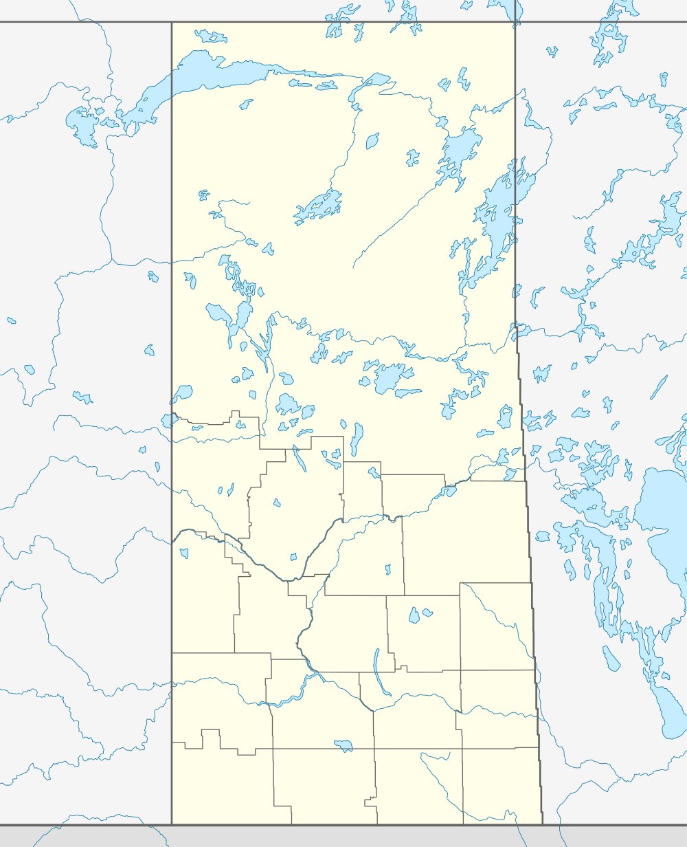
| Rural Municipality | Douglas |
| Established | 1913 |
| Incorporated (Village) | 1915 |
| Government | |
| • Governing body | Speers Village Council |
| • Mayor | Thomas E. Nicholson |
| • Administrator | Dean Nicholson |
| Area | |
| • Total | 0.69 km2 (0.27 sq mi) |
| Population (2006) | |
| • Total | 74 |
| • Density | 107.9/km2 (279/sq mi) |
| Time zone | CST |
| Postal code | S0M 2V0 |
| Area code(s) | 306 |
| Highways | Highway 40 |
| Railways | Canadian National Railway |
| [1][2][3][4] | |
Speers is a village in Douglas Rural Municipality No. 436, Saskatchewan, Canada. The population was 74 at the 2006 Census. The village is located approximately 50 minutes southeast of North Battleford, Saskatchewan on Highway 40.
The community is named for Charles Wesley Speers, the colonization agent for Western Canada, who came from Eastern Canada to settle at Griswold, Manitoba, in 1884.
Demographics
In 2006, Speers had a population of 74 living in 34 dwellings, which was a 4.2% increase from 2001. The village had a land area of 0.69 km2 (0.27 sq mi) and a population density of 107.9/km2 (279/sq mi).[5]
See also
References
- ↑ National Archives, Archivia Net, Post Offices and Postmasters
- ↑ Government of Saskatchewan, MRD Home, Municipal Directory System, archived from the original on November 21, 2008
- ↑ Canadian Textiles Institute. (2005), CTI Determine your provincial constituency
- ↑ Commissioner of Canada Elections, Chief Electoral Officer of Canada (2005), Elections Canada On-line
- ↑ Statistics Canada. "Canada 2006 Census: Speers - Community Profile". Retrieved 2010-08-23.
External links
 |
Whitkow | Keatley | Oscar Lake | |
| Richard | |
Hafford | ||
| ||||
| | ||||
| Maymont | Fielding | Radisson |
| Subdivisions | |
|---|---|
| Communities | |
| Cities | |
| Topics |
|
| |
Coordinates: 52°42′35″N 107°33′29″W / 52.70972°N 107.55806°W
This article is issued from Wikipedia - version of the 9/12/2016. The text is available under the Creative Commons Attribution/Share Alike but additional terms may apply for the media files.