Soda Lakes
| Soda Lakes | |
|---|---|
 | |
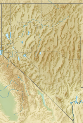 Soda Lakes Location in Nevada | |
| Location | Churchill County, Nevada, US |
| Coordinates | 39°31′48″N 118°52′12″W / 39.53000°N 118.87000°W |
| Type | Maars,volcanic explosion craters |
| Surface elevation | 1,251 m (4,104 ft)[1] |
The Soda Lakes are two lakes located northwest of Fallon, Nevada. They occupy two basaltic maar volcanoes which may have erupted in the last 1500 years from 2012. The larger lake (called Soda Lake) is somewhat elongated, stretching 2 kilometers (1.2 mi) in length, while the smaller one (Little Soda Lake) is 200 meters (660 ft) across. According to an early study of Soda Lakes, Russell (1885) describes the Soda Lake basin as follows:
- The rim of the larger lake in its highest part rises 80 feet above the surrounding desert, and is 165 feet higher than the surface of the lake which it incloses. The outer slope of the cone is gentle and merges almost imperceptibly with the desert surface; but the inner slope is abrupt and at times approaches the perpendicular. A series of careful soundings gives 147 feet as the greatest depth of the lake. The total depth of the depression is therefore 312 feet, and its bottom is 232 feet lower than the general surface of the desert near at hand.[2]
References
- ↑ "Soda Lakes". Global Volcanism Program. Smithsonian Institution. Retrieved 2008-09-03.
- ↑ Russell, I.C. 1885. Soda Lakes, near Ragtown, Nevada. In: Geological History of Lake Lahontan, a Quaternary lake of northwestern Nevada. United States Geological Survey, Monograph 11, pp. 73-80.
This article is issued from Wikipedia - version of the 4/26/2015. The text is available under the Creative Commons Attribution/Share Alike but additional terms may apply for the media files.