Sobótka
| Sobótka | ||
|---|---|---|
|
Castle | ||
| ||
 Sobótka | ||
| Coordinates: 50°53′55″N 16°44′40″E / 50.89861°N 16.74444°E | ||
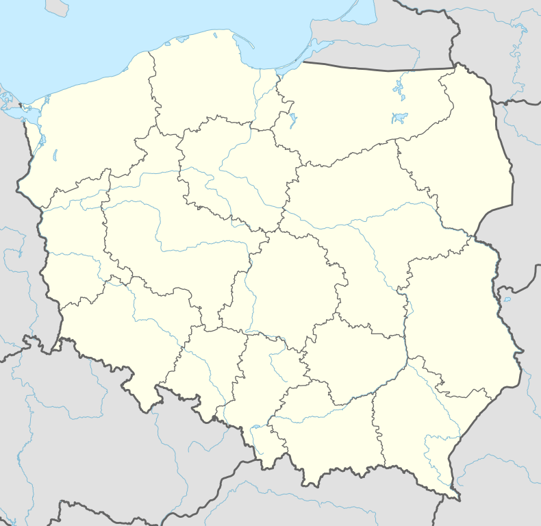
| Country |
| |
| Voivodeship | Lower Silesian | |
| County | Wrocław | |
| Gmina | Sobótka | |
| Area | ||
| • Total | 32.20 km2 (12.43 sq mi) | |
| Highest elevation | 718 m (2,356 ft) | |
| Lowest elevation | 150 m (490 ft) | |
| Population (2006) | ||
| • Total | 6,832 | |
| • Density | 210/km2 (550/sq mi) | |
| Postal code | 55-050 | |
| Website | http://www.sobotka.pl | |


Sobótka [sɔˈbutka] is a town in Wrocław County, Lower Silesian Voivodeship, in south-western Poland. It is the seat of the administrative district (gmina) called Gmina Sobótka. Sobótka is located about 30 km (19 mi) southwest of Wrocław on the northern slope of Mount Ślęża, part of the Central Sudetes mountain range. As of 2006, the town has a population of 6,832.
History
The area had been settled since prehistoric times, as evinced by numerous archaeological artefacts, and in the 2nd century BC Mount Ślęża was the site of a sanctuary of the Celtic Boii, marking a northern outpost of their settlement area.
In 1128, the Polish voivode Piotr Włostowic established an Augustinian monastery on Mount Ślęża which was later moved to Wrocław, while the area remained a property of the Augustinian order. The settlement was first mentioned in an 1148 bull issued by Pope Eugene III as Sabath, from Latin: sabbatum, Polish: Sobota, "Saturday", referring to a weekly market. The market rights were confirmed by the Silesian duke Bolesław I the Tall in 1193. His son Duke Henry I the Bearded granted it town privileges rights according to Magdeburg Law in 1221. The location of the city is on the ancient Amber Road and its first role was trade. After the Polish King Casimir III the Great had renounced Silesia, Sobótka in 1353, due to marriage of the Czech princess, became the Bohemian kings territory. King Wenceslaus explicitly acknowledged the city rights in 1399. The town was again purchased by the Augustinians in 1494.
As part of the Habsburg monarchy the town was devastated by the Thirty Years' War. With most of Silesia it was annexed by the Kingdom of Prussia in 1742. King Frederick William III finally secularized the Augustinian territory in 1810.
Until 1945, the village was known by its German name of Zobten am Berge. After World War II the region was placed under Polish administration by the Potsdam Agreement under territorial changes demanded by the Soviet Union. Most Germans fled or were expelled and replaced with Poles expelled from the Polish areas annexed by the Soviet Union.
Sights
The main attraction of the area is the Mount Sleza, one of the 28 peaks of Polish Mountains Crown pl:Korona Gór Polski. The name of the region Silesia comes from the name of that mountain. Now it is under reservation as”Gora Sleza landscape and geological reservation park”. With its 718 m.s.l. is the highest peak of the Sudetes Foreland. Its specific microclimate allows develop of the large species of Fauna and Flora. In ancient time (bronze) it was the Pagan Solar Cult center. The Christianization of the territory begins in the 10th century.
There are many touristic paths as well for the pedestrians and for the cyclists. In the oldest house in center of Sobotka there is a museum of an archeology of Mr. Stanislaw Dunajewski showing the large exposition of what was found nearby Sleza Mountain. It is also necessary to visit the churches of Saint Anna ( XIII/XIV) and Saint Jacob (1738) and Gorka Castle.
Historical names of the city
- 1148 – "Sabath"
- 1193 – "Sobath"
- 1200 – "Sobat"
- 1256 – "Czobotha"
- 1329 – "Zobota"
- 1336 – "Zobotka"
- 1343 - "Czoboten"
- 1399 - "Czobothen"
- 1404 - "Czobotaw"
- 1561 - "Zobten"
- 1938 - "Zobten am Berge"
- 1945 - "Sobótka"
Notable people
- Dieter Grahn (born 1944), German rower
- Tadeusz Dolny (born 1958), retired Polish football player
| Wikimedia Commons has media related to Sobótka. |
Coordinates: 50°53′57″N 16°44′32″E / 50.89917°N 16.74222°E