Slaugham
| Slaugham | |
 |
|
 Slaugham |
|
| Area | 24.32 km2 (9.39 sq mi) [1] |
|---|---|
| Population | 2,226 [1] 2001 Census 2,769 (2011 Census)[2] |
| – density | 92/km2 (240/sq mi) |
| OS grid reference | TQ257281 |
| – London | 32 miles (51 km) N |
| Civil parish | Slaugham |
| District | Mid Sussex |
| Shire county | West Sussex |
| Region | South East |
| Country | England |
| Sovereign state | United Kingdom |
| Post town | HAYWARDS HEATH |
| Postcode district | RH17 |
| Post town | CRAWLEY |
| Postcode district | RH11 |
| Dialling code | 01444 |
| 01293 | |
| Police | Sussex |
| Fire | West Sussex |
| Ambulance | South East Coast |
| EU Parliament | South East England |
| UK Parliament | Horsham |
| Website | http://www.slaughampc.org.uk/ |
|
|
Coordinates: 51°02′19″N 0°12′30″W / 51.0387°N 0.20824°W
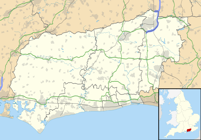
Slaugham (pronounced "Slaffam")[3] is a village and civil parish in the Mid Sussex District of West Sussex, England. It is located 7 miles (11 km) to the south of Crawley, on the A23 road to Brighton. The civil parish covers an area of 2,432 hectares (6,010 acres) and has a population of 2,226 persons of whom 1,174 were economically active in 2001( census). At the 2011 Census the parish included the villages of Handcross plus Warninglid and had a population of 2,769.[2]
In addition to Slaugham the parish contains the settlements of Pease Pottage, Handcross and Warninglid. St Mary's Church, a Grade II* listed building dating mostly from the 12th and 13th centuries and situated opposite Slaugham's village green, serves all four villages.[4][5]
References
- 1 2 "2001 Census: West Sussex – Population by Parish" (PDF). West Sussex County Council. Retrieved 10 April 2009.
- 1 2 "Civil Parish population 2011". Neighbourhood Statistics. Office for National Statistics. Retrieved 29 September 2016.
- ↑ Swinfen & Arscott 1984, p. 124.
- ↑ Salzman, L. F. (ed) (1940). "A History of the County of Sussex: Volume 7 – The Rape of Lewes. Parishes: Slaugham". Victoria County History of Sussex. British History Online. pp. 181–186. Retrieved 25 March 2010.
- ↑ "Detailed record: The Parish of St Mary, The Green (south side), Slaugham, Mid Sussex, West Sussex". Images of England. English Heritage. 2007. Retrieved 25 March 2010.
Bibliography
- Swinfen, Warden; Arscott, David (1984). Hidden Sussex. Brighton: BBC Radio Sussex. ISBN 0-9509510-0-5.
External links

![]() Media related to Slaugham at Wikimedia Commons
Media related to Slaugham at Wikimedia Commons