Skinner's Bottom
Coordinates: 50°16′20″N 5°11′46″W / 50.2721°N 5.1961°W
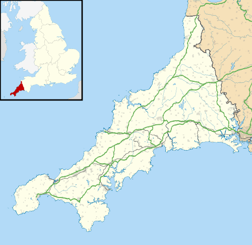
Skinner's Bottom is a hamlet near Porthtowan in west Cornwall, England, United Kingdom.
History and antiquities
Within the St Agnes area, there were some Iron Age buildings and features were used during the Roman period from 43 to 410 AD. Northwest of Wheal Rose and west of Skinner's Bottom was building, a terraced field system, and an excavation pit.[1] There were also some prehistoric flint arrowheads found at Skinner's Bottom slightly north and west of Spring Cottage.[2][3]
Religion
Skinner's Bottom had a Wesleyan chapel and a Primitive Methodist chapel.[4]
References
- ↑ Monument No. 1137598 - Wheal Rose Area Iron Age building and terraced field. English Heritage National Monuments. Retrieved 21 September 2012.
- ↑ Monument No. 427965 - Skinner's Bottom Flint Arrowheads. English Heritage National Monuments. Retrieved 23 September 2012.
- ↑ Monument No. 427965 - Skinner's Bottom Flint Arrowheads - map. English Heritage National Monuments. Retrieved 23 September 2012.
- ↑ Church History. Mount Hawke. GENUKI. Retrieved 23 September 2012. Also see:Mount Hawke Parish Church.
This article is issued from Wikipedia - version of the 1/23/2016. The text is available under the Creative Commons Attribution/Share Alike but additional terms may apply for the media files.