Skaulen
| Skaulen | |
|---|---|
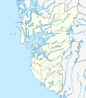 Skaulen Location in Rogaland | |
| Highest point | |
| Elevation | 1,538 m (5,046 ft) |
| Prominence | 640 m (2,100 ft) |
| Coordinates | 59°38′13″N 06°35′34″E / 59.63694°N 6.59278°ECoordinates: 59°38′13″N 06°35′34″E / 59.63694°N 6.59278°E |
| Geography | |
| Location | Rogaland, Norway |
| Parent range | Ryfylkesheiane |
Skaulen is a mountain in Rogaland county, Norway. The 1,538-metre (5,046 ft) mountain lies on the border of the municipalities of Sauda and Suldal. The mountain lies in the Ryfylkesheiane mountains, about 7.5 kilometres (4.7 mi) southeast of the village of Hellandsbygda in Sauda and about 13 kilometres (8.1 mi) west of the village of Nesflaten in Suldal.[1][2]
References
- ↑ Lauritzen, Per Roger, ed. (2009). "Skaulen". Norsk Fjelleksikon (in Norwegian). Arendal: Friluftsforlaget. p. 322. ISBN 9788291495477.
- ↑ Godal, Anne Marit (ed.). "Skaulen". Store norske leksikon (in Norwegian). Norsk nettleksikon. Retrieved 15 May 2013.
This article is issued from Wikipedia - version of the 12/7/2015. The text is available under the Creative Commons Attribution/Share Alike but additional terms may apply for the media files.