Shottisham
| Shottisham | |
 Shottisham Watermill |
|
 Shottisham |
|
| Population | 197 (2011) |
|---|---|
| OS grid reference | TM 31995 44647 |
| – London | 98.9 mi (159.2 km) |
| Civil parish | Shottisham |
| District | Suffolk Coastal |
| Shire county | Suffolk |
| Region | East |
| Country | England |
| Sovereign state | United Kingdom |
| Post town | Woodbridge |
| Postcode district | IP12 3 |
| Police | Suffolk |
| Fire | Suffolk |
| Ambulance | East of England |
| EU Parliament | East of England |
Coordinates: 52°03′06″N 1°22′56″E / 52.051620°N 1.3822200°E
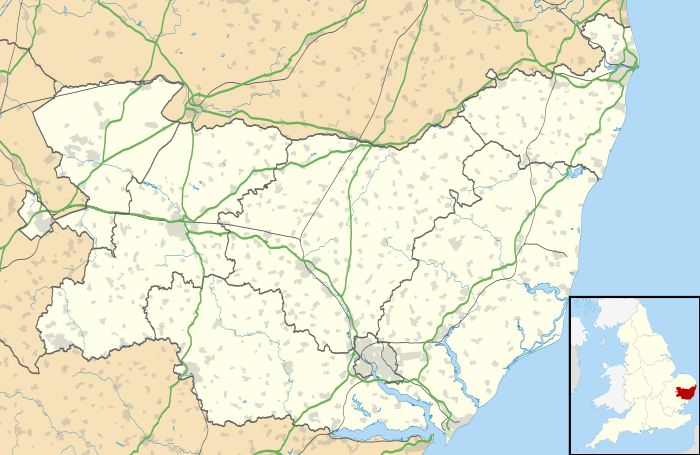
Shottisham is a village and civil parish in the Suffolk Coastal District, in the county of Suffolk.[1] It lies in the Wilford Hundred, about four and a half miles south-east of Woodbridge, between the parishes of Sutton, Alderton, Ramsholt and Hollesley, in the Bawdsey peninsula. About three miles from the coast at Hollesley Bay and Shingle Street, the village street overlooks a slight hollow of meads and copses at the road crossing of Shottisham Creek, a tributary brook of the river Deben.[2]
History
The origins of Shottisham and its name can be traced back to Old English, being translated to 'Scot or *Sceot's homestead/village'.[3] The earliest history of Shottisham is recorded in the 1086 Domesday Book and is described as being located in the Wilford Hundred. Shottisham had 24 households which was quite large compared to other nearby village parishes, containing 1 smallholder and 15 free men. The land was valued at £1.8, of which the overlords at this time were Edric of Laxfield and Godric of Peyton.[4] St Margaret's, the medieval parish church, which has a square tower holding a single bell, was restored in 1845.[5]

As of 1966 the church of St Margaret became a listed building by English Heritage.[6] Parish boundary records for Shottisham date back to 1831. The village then had 2,320 acres of land: however this figure had reduced by 1881 to 1,884 acres owing to parish boundary changes.[7]
Population census data from 1801 records 161 inhabitants, and by the 2011 census this had risen to 197. The 1851 census shows the highest figure, with 372 people.[8]

Occupational statistics from Census data show that in 1831 just over 60% of residents were employed as agricultural labourers. Retail and Handicrafts accounted for a further 28% of the population. The data for 1881 shows still the majority of men (around 66%) as agricultural labourers. The largest employment sector for women (20%) was in Domestic services of offices.[9]
There are a number of listed buildings in Shottisham, not just St Margaret's parish church. The public house The Sorrel Horse is a grade two listed building as well as Shottisham Hall which also became a grade two listed building in August 1988.[10]
In the 1870s, Shottisham was described as:
Shottisham, a parish, with a village, in Woodbridge district, Suffolk; 4¼ miles SE of Woodbridge r. station. It has a post-office under Woodbridge. The church was restored in 1867. There is a national school.[11]
Present day
Shottisham is a small village that is located between Woodbridge and Bawdsey. There are only a small number of business one of which is a general store, which also acts as a post office ( this shop and Post Office closed early 1990s)).[12] Shottisham has a church, a pub and a camp site. The church is dedicated to Saint Margaret of Antioch; the pub is named The Sorrel Horse. The total population is 197 according to the 2011 census.[13] Due to Shottisham being located in a very rural area there is no national public bus service, however there is a private company who run a morning and evening timetable for residents of Shottisham who work in nearby Woodbridge. The nearest train station to the village is Melton, which is on the line between Ipswich and Lowestoft.[14]
The average asking price for a house in Shottisham is £440,600, which is high compared to the national average of £250,000.[15]
The population of Shottisham has seen a move from the majority of the population working in agricultural to a spread in the distribution. According to the 2011 census data for Shottisham the highest three employment sectors are Primary education with 14%, Human health and Social work activities with 9.5%, and wholesale and retail trade and repair of motor vehicles with 11%.[16]

Local businesses
- The Sorrel Horse, is a pub that dates back to the 15th century.[17] As of August 2011 it was bought collectively by the community, the shares that were sold managed to raise £450,000 to keep the Sorrel Horse open.[18]
- St Margaret Camp-site, is a small caravan/camp site that has 30 pitches.[19]
Education
Shottisham contains no schools within the village itself, however several schools are located nearby. The two closest primary schools to Shottisham are Hollesley Primary School which is 2.5 miles from the village and Bawdsey Primary school which is 4.2 miles from the village. Both schools educate students from the ages 4 to 11. As regards to secondary education pupils would have to travel to nearby Woodbridge school which educates students from the ages of 4 to 18.[20] As of 1994 the current Headmaster of Woodbridge school is Mr Stephen Cole.[21]
References
- ↑ Kelly, E. R., ed. (1875). "SHOTTISHAM". The Post Office Directory of Cambridge, Norfolk and Suffolk. London: Kelly & Co. p. 909.
- ↑ "Shottisham local attractions". St Margaret Campsite. Retrieved 18 March 2014.
- ↑ "Survey of old English Place Names". University of Nottigham. Retrieved 27 February 2014.
- ↑ "Place: Shottisham". Open Doomsday. Retrieved 16 March 2014.
- ↑ "Suffolk, Shottisham". GENUKI. Retrieved 16 March 2014.
- ↑ "St Margaret listed building". British Listed Buildings. Retrieved 17 March 2014.
- ↑ "Vision of Britain, Shottisham CP". University of Portsmouth. Retrieved 16 March 2014.
- ↑ "Population Statistics". Vision of Britain. Retrieved 16 March 2014.
- ↑ "Employment statistics". Vision of Britain. Retrieved 10 March 2014.
- ↑ "Shottisham Listed buildings". British Listed Buildings. Retrieved 17 March 2014.
- ↑ Wilson, John Marius (1870–72). Gazetteer of England and Wales (1st ed.). Edinburgh: A. Pullarton & Co. Retrieved 4 February 2014.
- ↑ "Shottisham description". BBC doomsday reloaded. Retrieved 17 March 2014.
- ↑ "Shottisham (Parish): Key Fiqures for 2011 Census: Key Statistics". Neighbourhood statistics. Office for National Statistics. Retrieved 5 February 2014.
- ↑ "Shottisham transport information". BBC doomsday reloaded. Retrieved 17 March 2014.
- ↑ "Shottisham House Prices". Zoopla Property Search. Retrieved 17 March 2014.
- ↑ "Shottisham industry statistics". Neighbourhood statistics. Retrieved 18 March 2014.
- ↑ "The Sorrel Horse". The Sorrel Horse (ownership). Retrieved 19 March 2014.
- ↑ "Shottisham's Community pub". BBC. Retrieved 19 March 2014.
- ↑ "St Margaret Camp site". St Margaret Camp site. Retrieved 19 March 2014.
- ↑ "School Finder". RM education. Retrieved 13 March 2014.
- ↑ "Woodbridge School". Retrieved 13 March 2014.
External links
![]() Media related to Shottisham, Suffolk at Wikimedia Commons
Media related to Shottisham, Suffolk at Wikimedia Commons