Shiroi
| Shiroi 白井市 | |||
|---|---|---|---|
| City | |||
|
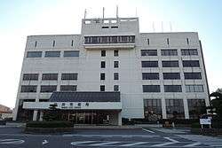
Shiroi City Hall | |||
| |||
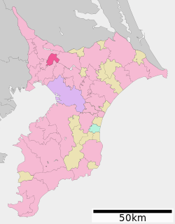 Location of Shiroi in Chiba Prefecture | |||
 Shiroi
| |||
| Coordinates: 35°47′29.3″N 140°3′22.7″E / 35.791472°N 140.056306°ECoordinates: 35°47′29.3″N 140°3′22.7″E / 35.791472°N 140.056306°E | |||
| Country | Japan | ||
| Region | Kantō | ||
| Prefecture | Chiba | ||
| Government | |||
| • Mayor | Fumio Izawa | ||
| Area | |||
| • Total | 35.48 km2 (13.70 sq mi) | ||
| Population (December 1, 2015) | |||
| • Total | 62,188 | ||
| • Density | 1,750/km2 (4,500/sq mi) | ||
| Time zone | Japan Standard Time (UTC+9) | ||
| - Tree | Castanopsis | ||
| - Flower | Satsuki azalea | ||
| - Bird | Meadow bunting | ||
| Phone number | 047-492-1111 | ||
| Address | 1123 Fuku, Shiroi-shi, Chiba-ken 270-1492 | ||
| Website | Official website | ||


Shiroi (白井市 Shiroi-shi) is a city located in northern Chiba Prefecture, Japan. As of December 1, 2015, the city had an estimated population of 62,188 and a population density of 1750 persons per km². The total area was 35.48 square kilometres (13.70 sq mi).
Geography
Shiroi is located in northwestern Chiba Prefecture, roughly equidistant from central Tokyo and Narita International Airport.
Neighboring municipalities
Chiba Prefecture
History
Shiroi Village was created within Inba District, Chiba Prefecture on April 1, 1885 with the early Meiji period establishment of the municipalities system. From shortly after World War II until the early 1960s Shiroi was the site of a United States Air Force Base (ShiroiI AFB APO 73). Shiroi was elevated to town status on September 1, 1964. As the Japanese economy grew in the 1970s, many people moved from the country to the cities, and the growth of Tokyo sent many residents out to suburbs in the Kantō countryside. Shiroi's real growth began during this period: its rail connection to Chiba City was completed in 1979, and it was linked directly to the Tokyo railway network in 1991. Shiroi was elevated to city status on April 1, 2001
Schools
There are nine elementary schools (Grade 1-6) in Shiroi: Shiroidaini Elementary School, Shiroidaiichi Elementary School, Nanatsugidai Elementary School, Ikenokami Elementary School, Shimizuguchi Elementary School, Minamiyama Elementary School, Shiroidaisan Elementary School, Oyamaguchi Elementary School, and Sakuradai Elementary School. There are also five middle schools (Grade 7-9): Shiroi Middle School, Oyamaguchi Middle School, Minamiyama Middle School, Nanatsugidai Middle School, and Sakuradai Middle School.
Economy
Shiroi is a regional commercial center and a bedroom community for nearby Chiba and Tokyo. During the Meiji era, Shiroi became a fruit-growing area. Local farmers planted kiwi fruit and grapes, but the most famous of Shiroi's fruits turned out to be nashi pears. In the springtime, the pear trees still bloom alongside the sakura.
Transportation
Railway
- Hokusō Railway Company - Hokusō Line
Highway
Sister cities
Local attractions
- Lake Tega
Noted people from Shiroi
- Akihiro Hyodo - professional soccer player
References
- ↑ "International Friendships". Shire of Campaspe. Retrieved 2009-08-15.
External links
| Wikimedia Commons has media related to Shiroi, Chiba. |
- Official website (Japanese)
| Wards of Chiba | ||
|---|---|---|
| Core cities | ||
| Cities | ||
| Inba District | ||
| Katori District | ||
| Sanbu District | ||
| Chōsei District | ||
| Isumi District | ||
| Awa District | ||