Shariatpur District
| Shariatpur District শরিয়তপুর | |
|---|---|
| District | |
| Shariatpur | |
 Location of Shariatpur District in Bangladesh | |
| Coordinates: 23°12.5′N 90°21′E / 23.2083°N 90.350°ECoordinates: 23°12.5′N 90°21′E / 23.2083°N 90.350°E | |
| Country |
|
| Area | |
| • Total | 1,174.05 km2 (453.30 sq mi) |
| Population (2011 census) | |
| • Total | 1,155,824 |
| • Density | 980/km2 (2,500/sq mi) |
| Time zone | BST (UTC+6) |
| Postal code | 8000 |
Shariatpur (Bengali: শরিয়তপুর জেলা, Shariatpur Jela also Shariatpur Zila) is a district in the Dhaka Division of central Bangladesh.
History
Shariatpur was named after Haji Shariatullah (1781–1840), who was the founder of Faraizi Movement and an eminent Islamic reformer during British Raj.[1] It was established as a district on 1 March 1984.[2]
Geography and demography

Shariatpur District is bounded on the north by Munshiganj District, Barisal District on the south, Chandpur District on the east, Madaripur District on the west. Main rivers are Padma, Meghna, Palong, Jayanti,[2] Kirtinasha, and Dharmaganj.
Area of Shariatpur district is 1174.05 km².[3] It consists of 6 upazilas, 5 municipalities, 102 Mahalla, 64 Union Parishad, 608 Mouza, 1235 Village, 213,677 household.
According to the census of 2001, Shariatpur district had a population of 1,082,300 distributed to 213,677 households (average household size 5), including 543,838 men and 538,462 women, or a gender ratio of 101:100.[4]
Administration
There are six upazilas (sub-districts) under this district,[3] namely:
- Shariatpur Sadar Upazila
- Damudya Upazila
- Naria Upazila
- Zanjira Upazila
- Bhedarganj Upazila
- Gosairhat Upazila
Notable residents
- Khuda Buksh (born February 1, 1912 – May 13, 1974) regarded as father of Insurance in Bangladesh
- Shawkat Ali (Politician)
- Abdur Razzaq (Former Minister of Water Resources)
See also
References
| Wikimedia Commons has media related to Shariatpur District. |
- ↑ Khan, Muin-ud-Din Ahmad (2012). "Shariatullah, Haji". In Islam, Sirajul; Jamal, Ahmed A. Banglapedia: National Encyclopedia of Bangladesh (Second ed.). Asiatic Society of Bangladesh.
- 1 2 Shahidul Haque (2012). "Shariatpur District". In Sirajul Islam and Ahmed A. Jamal. Banglapedia: National Encyclopedia of Bangladesh (Second ed.). Asiatic Society of Bangladesh.
- 1 2 District Statistics 2011: Shariatpur (PDF), retrieved 23 February 2016
- ↑ Household and Population of Statistical Metropolitan Areas in Bangladesh – 2001 (PDF), Population Census Wing, Bangladesh Bureau of Statistics, retrieved 2007-09-03
| Upazila/Thana: | ||
|---|---|---|
| Barisal Division | 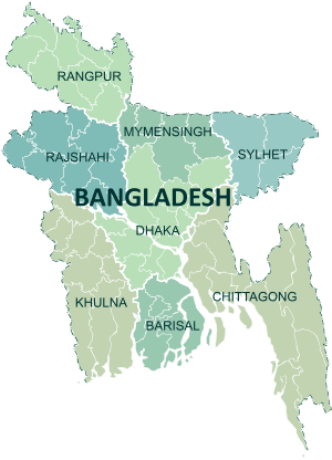 | |
|---|---|---|
| Chittagong Division | ||
| Dhaka Division | ||
| Khulna Division | ||
| Mymensingh Division | ||
| Rajshahi Division | ||
| Rangpur Division | ||
| Sylhet Division | ||